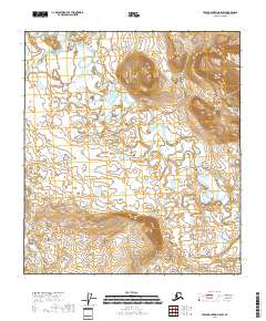
2018 Map of Table Mountain B-5 SW
USGS Topo · Published 2018About this map
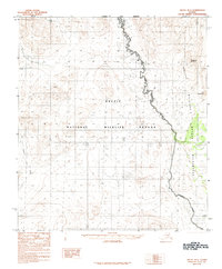
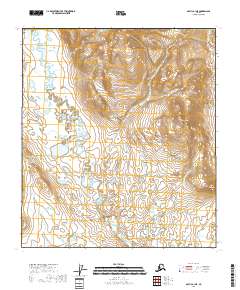
Sheenjek River meanders across this northern landscape, carving a wide and intricate valley floor characterized by countless oxbows, small lakes, and seasonal wetlands. The topographic detail highlights the river's shifting course through the Yukon-Koyukuk region, where the low-lying plains of the river corridor contrast sharply with the rising elevations of the surrounding terrain. In the northwestern corner, Old Woman Creek flows through higher contour lines before descending toward the main river system. This map provides a clear look at the hydraulic patterns and surveyor boundaries for T12S through T14S, defining a wilderness area managed by the U.S. Geological Survey that remains primarily defined by its natural watercourses and significant relief changes.
Find a feature on this map
8 named features on this map. Tap any name to fly to it.
Don’t see what you’re looking for? This feature index may not catch every label — zoom into the map to look around manually.
Map Details
Editions of this 2018 Table Mountain B-5 SW Map
This is the sole edition of this map. No revisions or reprints were ever made.
Other maps of this area

1951 · Arctic
USGS Topo · 1:250,000

1951 · Table Mountain
USGS Topo · 1:250,000

1956 · Table Mountain
USGS Topo · 1:250,000

1956 · Arctic
USGS Topo · 1:250,000

1964 · Table Mountain
USGS Topo · 1:250,000
1972 · Arctic A-1
USGS Topo · 1:63,360
1972 · Table Mountain A-5
USGS Topo · 1:63,360
1972 · Table Mountain B-5
USGS Topo · 1:63,360
1983 · Arctic B-1
USGS Topo · 1:63,360
2018 · Arctic B-1 NE
USGS Topo · 1:25,000