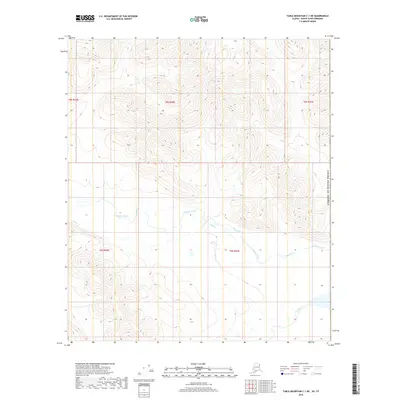
2018 Map of Table Mountain C-1 NE
USGS Topo · Published 2018About this map
The Firth River drainage dominates this far northern landscape, where several mountain streams converge near the international boundary. This 2018 survey documents a remote watershed within the North Slope, defined by the winding paths of Mancha Creek and its southern tributaries. The map illustrates a high-altitude terrain where narrow valleys formed by Helen Cr and You Cr cut through the surrounding peaks. The cartography provides a precise look at the hydrography of the region before these waters flow toward the Arctic coast, showing the relationship between the various branches of the Mancha Cr system and the primary river channel to the southeast.
Find a feature on this map
11 named features on this map. Tap any name to fly to it.
Don’t see what you’re looking for? This feature index may not catch every label — zoom into the map to look around manually.
Map Details
Editions of this 2018 Table Mountain C-1 NE Map
This is the sole edition of this map. No revisions or reprints were ever made.
Other maps of this area

1951 · Table Mountain
USGS Topo · 1:250,000

1956 · Table Mountain
USGS Topo · 1:250,000

1964 · Table Mountain
USGS Topo · 1:250,000

1983 · Table Mountain D-1
USGS Topo · 1:63,360
1983 · Table Mountain C-1
USGS Topo · 1:63,360
2018 · Table Mountain D-1 SE
USGS Topo · 1:25,000
2018 · Table Mountain C-1 NW
USGS Topo · 1:25,000
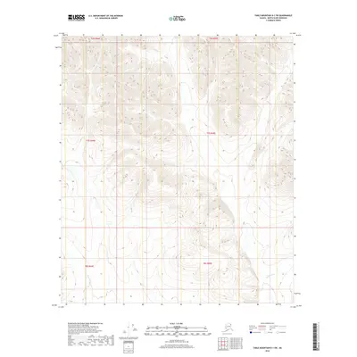
2018 · Table Mountain D-1 SW
USGS Topo · 1:25,000
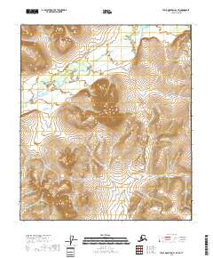
2018 · Table Mountain C-1 SE
USGS Topo · 1:25,000
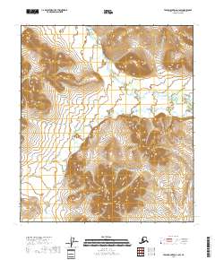
2018 · Table Mountain C-1 SW
USGS Topo · 1:25,000