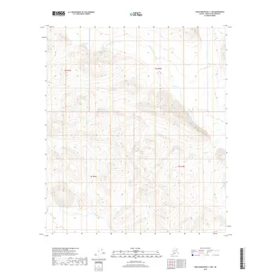
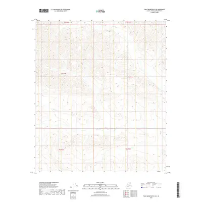
2018 Map of Table Mountain C-1 NW
USGS Topo · Published 2018About this map
Mancha Creek and its tributary Mancha Cr define the northern drainage of this North Slope landscape, where the terrain transitions through significant elevation changes. The land is strictly organized by the Public Land Survey System, as evidenced by the convergence of township and range lines including t8s r44e, t8s r45e, t9s r45e, and t9s r46e. Further south, Helen Cr winds through the contours, illustrating the primary hydrologic patterns of this unpopulated wilderness. This 2018 survey provides a precise topographic record of these waterways before they join larger systems in the Arctic interior, serving as a critical reference for understanding the geography of the Table Mountain region.
Find a feature on this map
7 named features on this map. Tap any name to fly to it.
Don’t see what you’re looking for? This feature index may not catch every label — zoom into the map to look around manually.
Map Details
Editions of this 2018 Table Mountain C-1 NW Map
This is the sole edition of this map. No revisions or reprints were ever made.
Other maps of this area

1951 · Table Mountain
USGS Topo · 1:250,000

1956 · Table Mountain
USGS Topo · 1:250,000

1964 · Table Mountain
USGS Topo · 1:250,000

1983 · Table Mountain D-2
USGS Topo · 1:63,360

1983 · Table Mountain D-1
USGS Topo · 1:63,360
1983 · Table Mountain C-1
USGS Topo · 1:63,360
1983 · Table Mountain C-2
USGS Topo · 1:63,360
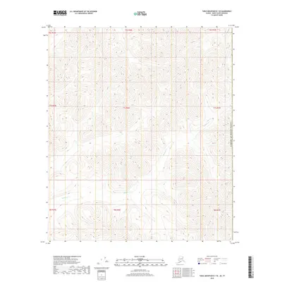
2018 · Table Mountain D-1 SE
USGS Topo · 1:25,000
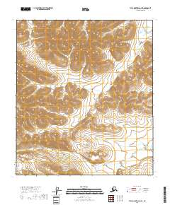
2018 · Table Mountain D-2 SE
USGS Topo · 1:25,000
2018 · Table Mountain C-2 SE
USGS Topo · 1:25,000