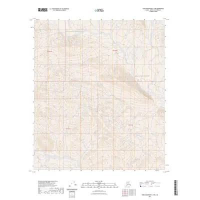
2023 Map of Table Mountain C-1 NW
USGS Topo · Published 2023About this map
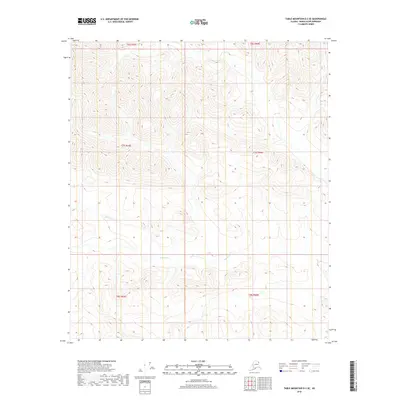
Arctic National Wildlife Refuge encompasses the vast majority of this 2023 survey in the North Slope Borough, where the terrain is defined by high-elevation drainage systems. The northern reaches are characterized by the winding path of Mancha Creek, which flows through the Mollie Beattie Wilderness toward the eastern boundary. Further south, the map details the headwaters and tributaries of Helen Creek, illustrating the remote hydrological network of the eastern Brooks Range. The cartography emphasizes the untouched character of this protected landscape, focused entirely on the natural features of the watershed without any mapped roads or human structures. The transition from the larger wildlife refuge into the designated wilderness area highlights a region of critical conservation importance, preserved for its pristine environment and significant natural value.
Find a feature on this map
8 named features on this map. Tap any name to fly to it.
Don’t see what you’re looking for? This feature index may not catch every label — zoom into the map to look around manually.
Map Details
Editions of this 2023 Table Mountain C-1 NW Map
This is the sole edition of this map. No revisions or reprints were ever made.
Other maps of this area

1951 · Table Mountain
USGS Topo · 1:250,000

1956 · Table Mountain
USGS Topo · 1:250,000

1964 · Table Mountain
USGS Topo · 1:250,000

1983 · Table Mountain D-2
USGS Topo · 1:63,360

1983 · Table Mountain D-1
USGS Topo · 1:63,360
1983 · Table Mountain C-1
USGS Topo · 1:63,360
1983 · Table Mountain C-2
USGS Topo · 1:63,360
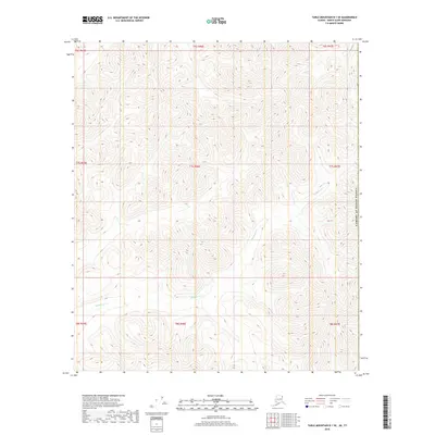
2018 · Table Mountain D-1 SE
USGS Topo · 1:25,000
2018 · Table Mountain D-2 SE
USGS Topo · 1:25,000
2018 · Table Mountain C-2 SE
USGS Topo · 1:25,000