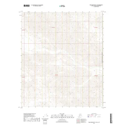
2018 Map of Table Mountain D-1 NE
USGS Topo · Published 2018About this map
Joe Cr flows westward across the high-elevation terrain of the North Slope in this 2018 survey. The landscape is defined by its extreme isolation and dramatic relief, situated along the international boundary of the United States of America. In the southeastern corner of the quadrangle, the headwaters of Trail Cr begin their descent through the steep contours. This map represents a remote section of the eastern Brooks Range where drainage patterns and township lines, such as t5s r46e and t6s r46e, provide the primary markers for navigation in an area devoid of roads or permanent structures. The survey captures a pure wilderness environment as it existed in the early twenty-first century.
Find a feature on this map
9 named features on this map. Tap any name to fly to it.
Don’t see what you’re looking for? This feature index may not catch every label — zoom into the map to look around manually.
Map Details
Editions of this 2018 Table Mountain D-1 NE Map
This is the sole edition of this map. No revisions or reprints were ever made.
Other maps of this area

1951 · Demarcation Point
USGS Topo · 1:250,000

1951 · Table Mountain
USGS Topo · 1:250,000

1955 · Demarcation Point
USGS Topo · 1:250,000

1956 · Table Mountain
USGS Topo · 1:250,000

1964 · Table Mountain
USGS Topo · 1:250,000

1964 · Demarcation Point
USGS Topo · 1:250,000

1983 · Table Mountain D-1
USGS Topo · 1:63,360
1983 · Demarcation Point A-1
USGS Topo · 1:63,360
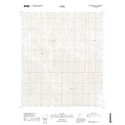
2018 · Demarcation Point A-1 SW
USGS Topo · 1:25,000
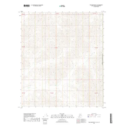
2018 · Table Mountain D-1 SE
USGS Topo · 1:25,000