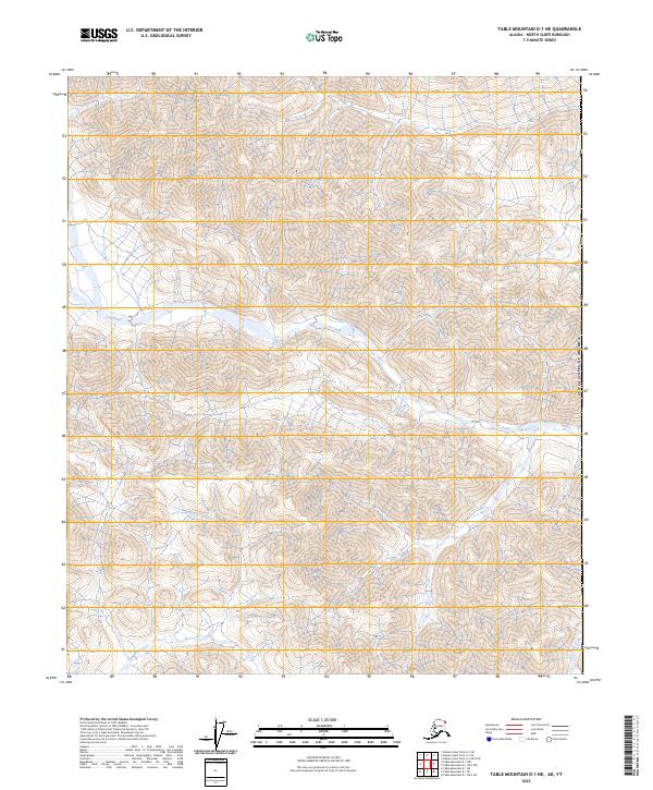
2023 Map of Table Mountain D-1 NE
USGS Topo · Published 2023About this map
Arctic National Wildlife Refuge encompasses this corner of the North Slope, where the topographic relief of the Brooks Range is defined by the drainage of Joe Creek. This remote landscape within the Mollie Beattie Wilderness is characterized by extreme isolation and steep elevation changes, terminating at the international border of the United States of America. The northern reaches of the quadrangle are marked by the intricate branching of Joe Creek and its tributaries, while the southeastern corner is intersected by the headwaters of Trail Creek. The map provides a detailed view of these natural watercourses as they cut through the high-altitude terrain, offering a specialized look at one of the most protected wilderness areas in the world.
Find a feature on this map
12 named features on this map. Tap any name to fly to it.
Don’t see what you’re looking for? This feature index may not catch every label — zoom into the map to look around manually.
Map Details
Editions of this 2023 Table Mountain D-1 NE Map
This is the sole edition of this map. No revisions or reprints were ever made.
Other maps of this area

1951 · Demarcation Point
USGS Topo · 1:250,000

1951 · Table Mountain
USGS Topo · 1:250,000

1955 · Demarcation Point
USGS Topo · 1:250,000

1956 · Table Mountain
USGS Topo · 1:250,000

1964 · Table Mountain
USGS Topo · 1:250,000

1964 · Demarcation Point
USGS Topo · 1:250,000

1983 · Table Mountain D-1
USGS Topo · 1:63,360
1983 · Demarcation Point A-1
USGS Topo · 1:63,360
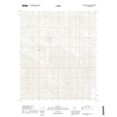
2018 · Demarcation Point A-1 SW
USGS Topo · 1:25,000
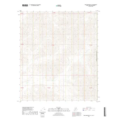
2018 · Table Mountain D-1 SE
USGS Topo · 1:25,000