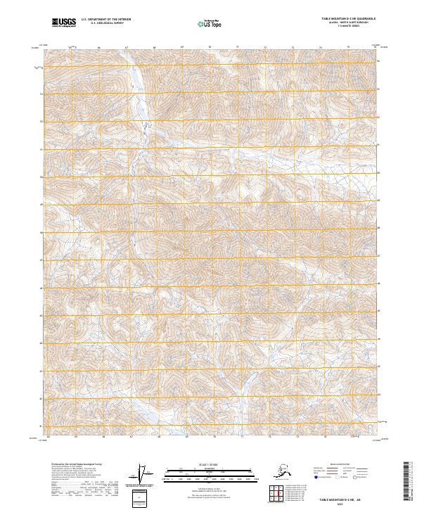
2023 Map of Table Mountain D-2 NE
USGS Topo · Published 2023About this map
Arctic National Wildlife Refuge encompasses the northern portion of this landscape, where the terrain is defined by steep elevation changes and high ridgelines characteristic of the Brooks Range foothills. In the southeastern corner, the map includes a portion of the Mollie Beattie Wilderness, one of the most protected and least-disturbed natural areas in the country. The absence of roads, human structures, or permanent settlements reflects the strictly preserved character of this region. Instead, the sheet focuses on the complex topography and drainage patterns within the North Slope Borough, providing a look at the land before it transitions toward the coastal plain.
Find a feature on this map
6 named features on this map. Tap any name to fly to it.
Don’t see what you’re looking for? This feature index may not catch every label — zoom into the map to look around manually.
Map Details
Editions of this 2023 Table Mountain D-2 NE Map
This is the sole edition of this map. No revisions or reprints were ever made.
Other maps of this area

1951 · Demarcation Point
USGS Topo · 1:250,000

1951 · Table Mountain
USGS Topo · 1:250,000

1955 · Demarcation Point
USGS Topo · 1:250,000

1956 · Table Mountain
USGS Topo · 1:250,000

1964 · Table Mountain
USGS Topo · 1:250,000

1964 · Demarcation Point
USGS Topo · 1:250,000

1983 · Table Mountain D-2
USGS Topo · 1:63,360

1983 · Demarcation Point A-2
USGS Topo · 1:63,360

1983 · Table Mountain D-1
USGS Topo · 1:63,360
1983 · Demarcation Point A-1
USGS Topo · 1:63,360