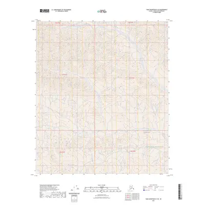
2023 Map of Table Mountain D-2 SE
USGS Topo · Published 2023About this map
Mancha Creek winds through this northern expanse of the Arctic National Wildlife Refuge, where the drainage patterns define the topography of the North Slope. The landscape is characterized by the high-latitude wilderness of the Mollie Beattie Wilderness, showing a terrain largely untouched by permanent human settlement or infrastructure. The Public Land Survey System grids, including t7s r43e and t6s r44e, provide the primary framework for navigating this remote region. For researchers, the map preserves the exact hydrography of the creek and its tributaries as they appeared in the early 21st century, offering a baseline for studying the shifting hydrology of Alaska’s protected interior lands.
Find a feature on this map
9 named features on this map. Tap any name to fly to it.
Don’t see what you’re looking for? This feature index may not catch every label — zoom into the map to look around manually.
Map Details
Editions of this 2023 Table Mountain D-2 SE Map
This is the sole edition of this map. No revisions or reprints were ever made.
Other maps of this area

1951 · Table Mountain
USGS Topo · 1:250,000

1956 · Table Mountain
USGS Topo · 1:250,000

1964 · Table Mountain
USGS Topo · 1:250,000

1983 · Table Mountain D-2
USGS Topo · 1:63,360

1983 · Table Mountain D-1
USGS Topo · 1:63,360
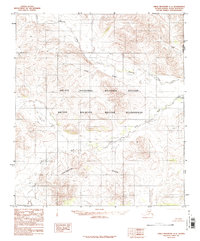
1983 · Table Mountain C-1
USGS Topo · 1:63,360
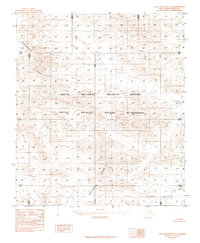
1983 · Table Mountain C-2
USGS Topo · 1:63,360
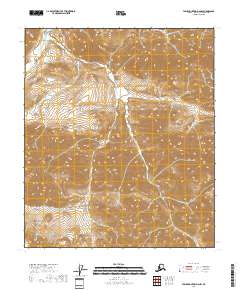
2018 · Table Mountain D-2 NW
USGS Topo · 1:25,000
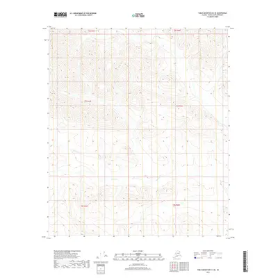
2018 · Table Mountain D-2 SE
USGS Topo · 1:25,000
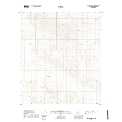
2018 · Table Mountain C-2 NE
USGS Topo · 1:25,000