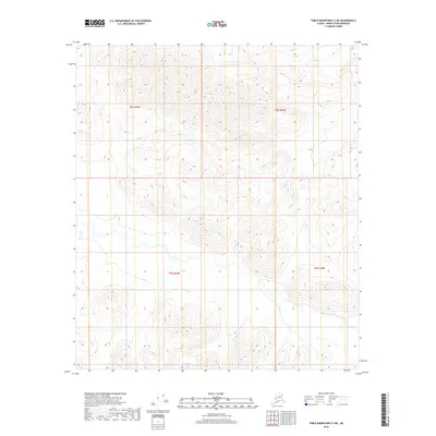
2018 Map of Table Mountain C-2 NE
USGS Topo · Published 2018About this map
Steep ridges and high-altitude basins dominate this remote section of the North Slope Borough, where the terrain is organized by the Public Land Survey System boundaries of T8s R43e, T8s R44e, T9s R44e, and T9s R45e. The landscape is defined by its dramatic elevation changes, with contours illustrating a complex network of V-shaped valleys and narrow peaks. This specific 2018 survey captures the area in its wild state, showing no established roads or modern settlements. The drainages and seasonal watercourses follow the natural topography of the Brooks Range foothills, providing a clear picture of the region's untouched drainage patterns and the intersection of various township and range lines.
Find a feature on this map
4 named features on this map. Tap any name to fly to it.
Don’t see what you’re looking for? This feature index may not catch every label — zoom into the map to look around manually.
Map Details
Editions of this 2018 Table Mountain C-2 NE Map
This is the sole edition of this map. No revisions or reprints were ever made.
Other maps of this area

1951 · Table Mountain
USGS Topo · 1:250,000

1956 · Table Mountain
USGS Topo · 1:250,000

1964 · Table Mountain
USGS Topo · 1:250,000

1983 · Table Mountain D-2
USGS Topo · 1:63,360

1983 · Table Mountain D-1
USGS Topo · 1:63,360
1983 · Table Mountain C-1
USGS Topo · 1:63,360
1983 · Table Mountain C-2
USGS Topo · 1:63,360
2018 · Table Mountain D-2 SE
USGS Topo · 1:25,000
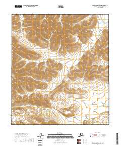
2018 · Table Mountain C-2 SE
USGS Topo · 1:25,000
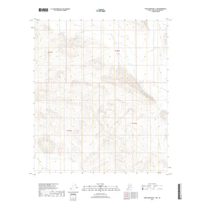
2018 · Table Mountain C-1 NW
USGS Topo · 1:25,000