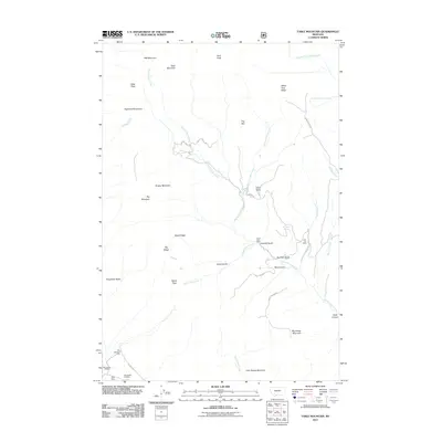
2011 Map of Table Mountain
USGS Topo · Published 2011About this map
Julia Lee Mine and the Big Bonanza Mine underscore the industrial character of this corner of the Highland Mountains south of Butte. The landscape is defined by its deep drainages and named peaks, including Table Mountain and Big Sheep Mountain, which rise above the complex network of Hells Canyon Creek and Steels Pass Creek. Evidence of historical timber and mineral interest is scattered throughout the drainages, notably at Sawmill Gulch and across several section-named mining sites. These features, along with names like Brazil Ridge and Dougherty Butte, suggest a legacy of individual claims and local family history embedded in the terrain. The presence of Bull Pen Spring and Little Cherry Creek Springs highlights the critical water sources that once supported high-altitude activities in this part of Silver Bow County.
Find a feature on this map
39 named features on this map. Tap any name to fly to it.
Don’t see what you’re looking for? This feature index may not catch every label — zoom into the map to look around manually.
Map Details
Editions of this 2011 Table Mountain Map
This is the sole edition of this map. No revisions or reprints were ever made.
Other maps of this area

1893 · Dillon
USGS Topo · 1:250,000

1955 · Dillon
USGS Topo · 1:250,000

1957 · Dillon
USGS Topo · 1:250,000

1958 · Dillon
USGS Topo · 1:250,000

1960 · Twin Bridges
USGS Topo · 1:62,500

1961 · Wickiup Creek
USGS Topo · 1:24,000

1961 · Nez Perce Hollow
USGS Topo · 1:24,000

1961 · Butte South
USGS Topo · 1:62,500

1962 · Dillon
USGS Topo · 1:250,000

1963 · Pipestone Pass
USGS Topo · 1:24,000