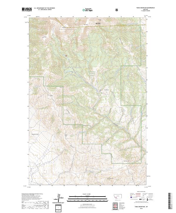
2024 Map of Table Mountain
USGS Topo · Published 2024About this map
The Highland Mountains dominate this high-altitude landscape along the border of Silver Bow and Madison Counties. Within the bounds of the Deerlodge National Forest, prominent summits such as Table Mtn, East Peak, and West Peak rise above a complex network of ridges and drainages. The area is defined by sharp topographic reliefs like Hells Canyon and the winding Hells Canyon Rd, which traverses the central interior.
Find a feature on this map
42 named features on this map. Tap any name to fly to it.
Don’t see what you’re looking for? This feature index may not catch every label — zoom into the map to look around manually.
Map Details
Editions of this 2024 Table Mountain Map
This is the sole edition of this map. No revisions or reprints were ever made.
Other maps of this area

1893 · Dillon
USGS Topo · 1:250,000

1955 · Dillon
USGS Topo · 1:250,000

1957 · Dillon
USGS Topo · 1:250,000

1958 · Dillon
USGS Topo · 1:250,000

1960 · Twin Bridges
USGS Topo · 1:62,500

1961 · Wickiup Creek
USGS Topo · 1:24,000

1961 · Nez Perce Hollow
USGS Topo · 1:24,000

1961 · Butte South
USGS Topo · 1:62,500

1962 · Dillon
USGS Topo · 1:250,000

1963 · Pipestone Pass
USGS Topo · 1:24,000