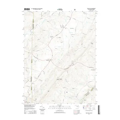
2014 Map of Table Rock
USGS Topo · Published 2014About this map
Backbone Mountain and the Allegheny Mountains dominate this rugged boundary region between Maryland and West Virginia. The landscape is defined by the headwaters of two major river systems: the Youghiogheny River flowing north and the North Branch Potomac River marking the southeastern border near Wilson. Small communities like Gortner and Redhouse are connected by the Garrett Hwy, which follows the high ridges. Local history is anchored by numerous family and community burial grounds, including Wesley Cem, Gortner Cem, and the Red House Cem near the junction of the George Washington Hwy. Notable geographic landmarks like Table Rock and Roth Rock provide fixed points along the ridges, while the Greater Gortner Airport represents more modern infrastructure in this upland plateau.
Find a feature on this map
98 named features on this map. Tap any name to fly to it.
Don’t see what you’re looking for? This feature index may not catch every label — zoom into the map to look around manually.
Map Details
Editions of this 2014 Table Rock Map
This is the sole edition of this map. No revisions or reprints were ever made.
Other maps of this area

1886 · St. George
USGS Topo · 1:125,000

1891 · St. George
USGS Topo · 1:125,000

1895 · Piedmont
USGS Topo · 1:125,000

1899 · Oakland
USGS Topo · 1:62,500

1900 · Oakland
USGS Topo · 1:62,500

1907 · Kingwood
USGS Topo · 1:62,500

1908 · Parsons
USGS Topo · 1:62,500

1916 · Davis
USGS Topo · 1:48,000

1918 · Davis
USGS Topo · 1:62,500

1919 · Davis
USGS Topo · 1:62,500