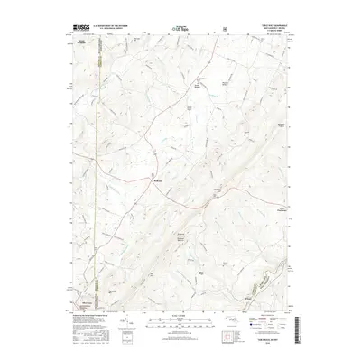
2016 Map of Table Rock
USGS Topo · Published 2016About this map
The Youghiogheny River carves its way through the high plateau of the Allegheny Mountains, defining the border between West Virginia and Maryland. This 2016 survey highlights a landscape where rural settlements like Gortner, Redhouse, and Wilson are scattered among prominent ridges such as Backbone Mountain and Moon Ridge. Genealogists will find several burial sites including Gortner Cem, Red House Cem, and Beckman Cem, alongside historical sites like Fort Pendleton. The rugged topography is further illustrated by distinctive heights like Table Rock and Conneway Hill, while the Monongahela National Forest covers the southern terrain near Silver Lake. Small-scale aviation is represented by the Greater Gortner Airport, situated on a relatively level stretch of land east of the river valley.
Find a feature on this map
107 named features on this map. Tap any name to fly to it.
Don’t see what you’re looking for? This feature index may not catch every label — zoom into the map to look around manually.
Map Details
Editions of this 2016 Table Rock Map
This is the sole edition of this map. No revisions or reprints were ever made.
Other maps of this area

1886 · St. George
USGS Topo · 1:125,000

1891 · St. George
USGS Topo · 1:125,000

1895 · Piedmont
USGS Topo · 1:125,000

1899 · Oakland
USGS Topo · 1:62,500

1900 · Oakland
USGS Topo · 1:62,500

1907 · Kingwood
USGS Topo · 1:62,500

1908 · Parsons
USGS Topo · 1:62,500

1916 · Davis
USGS Topo · 1:48,000

1918 · Davis
USGS Topo · 1:62,500

1919 · Davis
USGS Topo · 1:62,500