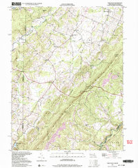
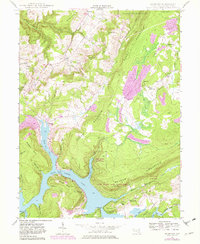
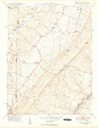
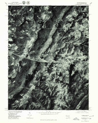
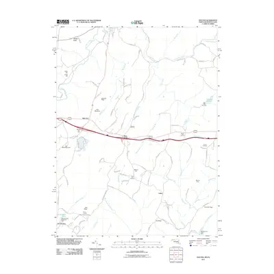
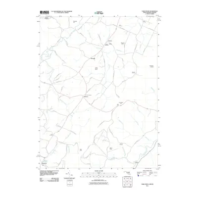
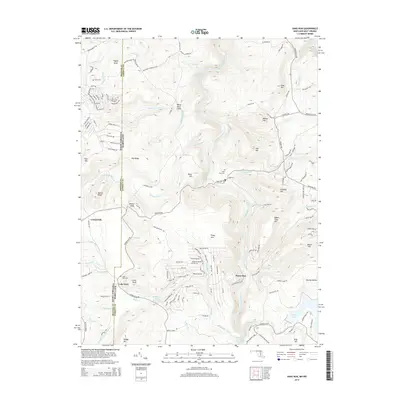
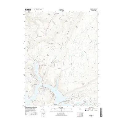
1997 Map of Table Rock
USGS Topo · Published 2001About this map
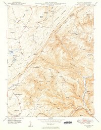
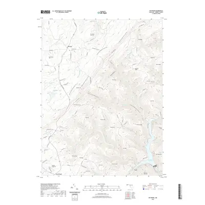
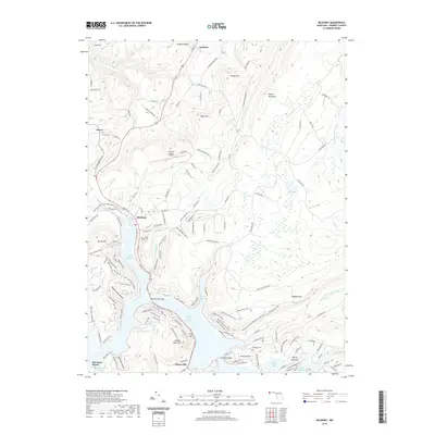
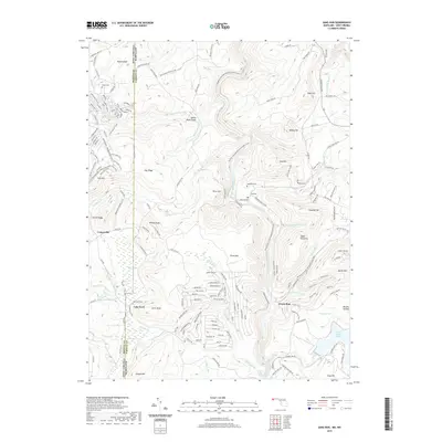
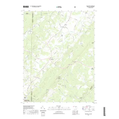
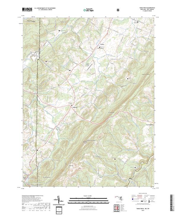
Backbone Mountain anchors this landscape at the high intersection of the Maryland and West Virginia border, where the rugged terrain of Allegheny Heights overlooks a network of rural crossroads. The settlement pattern is defined by traditional community centers such as Gortner, Redhouse, and Gorman, each linked by historic routes like Mason Road. Local life centers around a dense network of mountain schools and gathering places, including Swan Meadow Sch, Lynndale Sch, and the Shady Dell Grange Hall. The drainage system is particularly notable, with the Youghiogheny River and the North Branch Potomac River both appearing on this sheet, separated by the high ridgelines. Near the southern edge, Silver Lake provides a distinct landmark for researchers tracing the hydrology and development of the Garrett County highlands.
Find a feature on this map
44 named features on this map. Tap any name to fly to it.
Don’t see what you’re looking for? This feature index may not catch every label — zoom into the map to look around manually.
Map Details
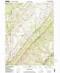
Editions of this 1997 Table Rock Map
2 editions found
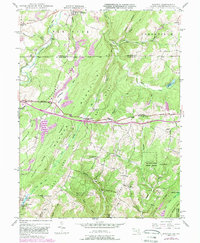
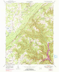
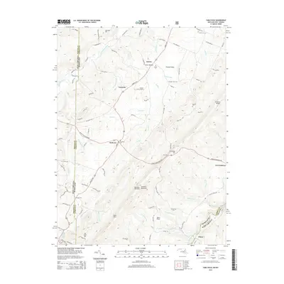
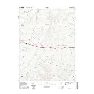
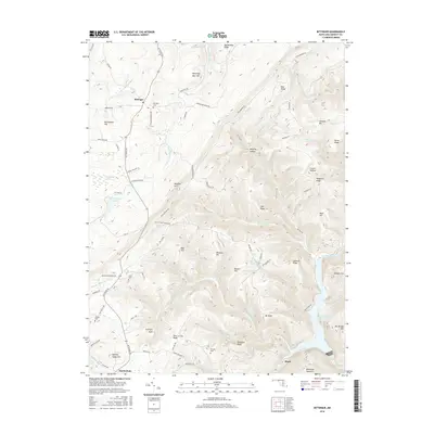
Historical Maps of Gortner Through Time
40 maps found
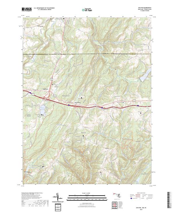
1947 Avilton
Garrett County, MD
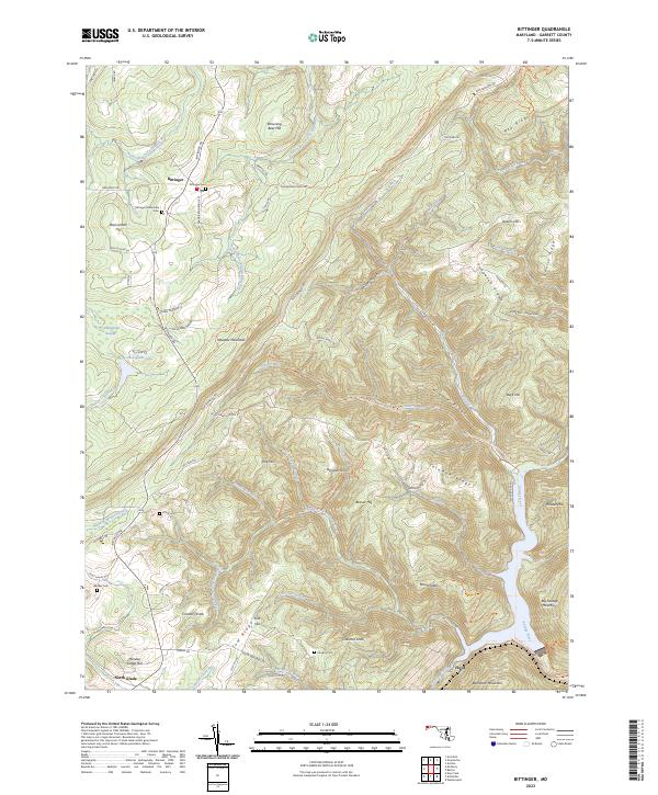
1947 Bittinger
Garrett County, MD
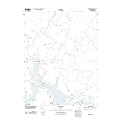
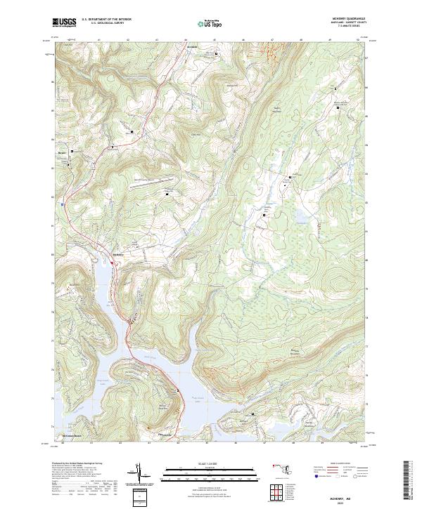
1947 McHenry
Garrett County, MD
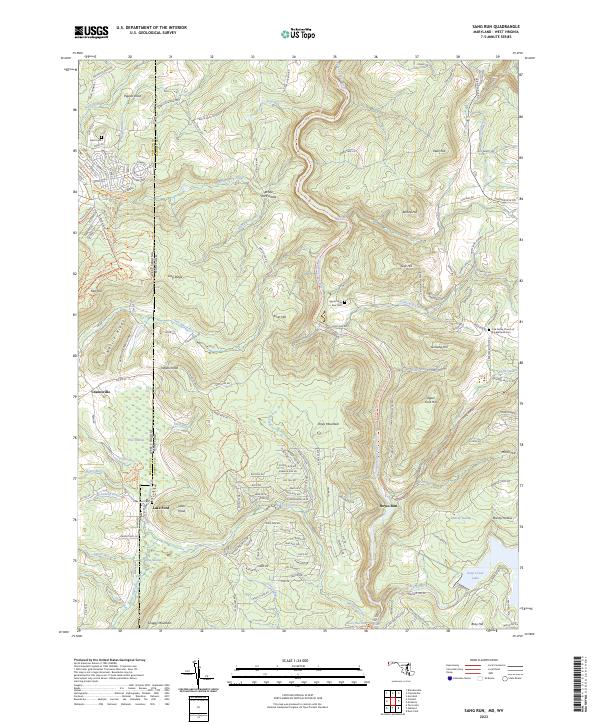
1947 Sang Run
Garrett County, MD
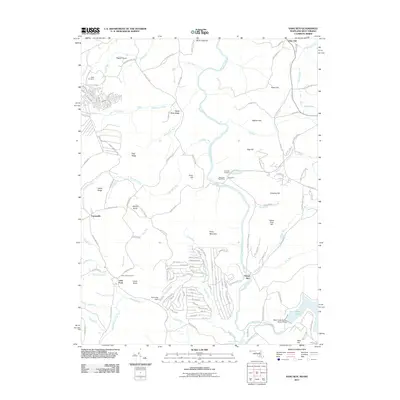
1948 Table Rock
Garrett County, MD
1949 Avilton
Garrett County, MD
1949 Bittinger
Garrett County, MD
1949 Kempton
Garrett County, MD
1949 McHenry
Garrett County, MD
1949 Sang Run
Garrett County, MD
1949 Table Rock
Garrett County, MD
1977 Avilton
Garrett County, MD
1994 Bittinger
Garrett County, MD
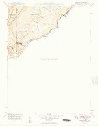
1997 Table Rock
Garrett County, MD
1999 Sang Run
Garrett County, MD
2011 Avilton
Garrett County, MD
2011 Bittinger
Garrett County, MD
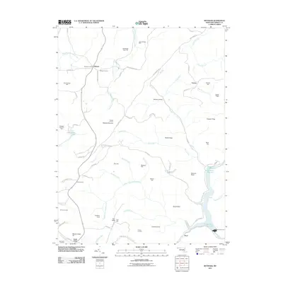
2011 McHenry
Garrett County, MD
2011 Sang Run
Garrett County, MD
2011 Table Rock
Garrett County, MD
2014 Avilton
Garrett County, MD
2014 Bittinger
Garrett County, MD
2014 McHenry
Garrett County, MD
2014 Sang Run
Garrett County, MD
2014 Table Rock
Garrett County, MD
2016 Avilton
Garrett County, MD
2016 Bittinger
Garrett County, MD
2016 McHenry
Garrett County, MD
2016 Sang Run
Garrett County, MD
2016 Table Rock
Garrett County, MD
2019 Avilton
Garrett County, MD
2019 Bittinger
Garrett County, MD
2019 McHenry
Garrett County, MD
2019 Sang Run
Garrett County, MD
2019 Table Rock
Garrett County, MD
2023 Avilton
Garrett County, MD
2023 Bittinger
Garrett County, MD
2023 McHenry
Garrett County, MD
2023 Sang Run
Garrett County, MD
2023 Table Rock
Garrett County, MD