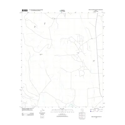
2012 Map of Table Top Mountain
USGS Topo · Published 2012About this map
The Pecos River snakes through the southern corner of this landscape, defining the hydrology of a region where the high desert plateaus meet the river valley. The industrial footprint of the Crockett Oil Field dominates the central portion of the map, revealing the extensive network of service roads and pads required for modern extraction. These contemporary features contrast with traditional landholdings such as the Kelton Ranch in the north, showing the continued importance of ranching alongside energy development.
Find a feature on this map
11 named features on this map. Tap any name to fly to it.
Don’t see what you’re looking for? This feature index may not catch every label — zoom into the map to look around manually.
Map Details
Editions of this 2012 Table Top Mountain Map
This is the sole edition of this map. No revisions or reprints were ever made.
Other maps of this area

1928 · Crane
USGS Topo · 1:125,000

1928 · Rankin
USGS Topo · 1:125,000

1929 · Sheffield
USGS Topo · 1:125,000

1929 · Independence Draw Quadrangle
USGS Topo · 1:125,000

1954 · Pecos
USGS Topo · 1:250,000

1954 · Fort Stockton
USGS Topo · 1:250,000

1954 · Sonora
USGS Topo · 1:250,000

1954 · San Angelo
USGS Topo · 1:250,000

1957 · Pecos
USGS Topo · 1:250,000

1958 · Sonora
USGS Topo · 1:250,000