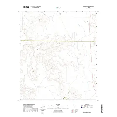
2019 Map of Table Top Mountain
USGS Topo · Published 2019About this map
Table Top Mtn and the neighboring peak of Sugar Loaf Mtn dominate this West Texas landscape, where the high desert terrain transitions toward the canyon lands of the southern Edwards Plateau. The map captures a rugged topography defined by deep erosional features like Javelina Draw and the flat-topped expanse of the Southwest Mesa. In the southeastern corner, the Pecos River serves as a critical geographic boundary between Crockett and Pecos counties. Transportation in this arid region is limited to a sparse network of county routes, including Co Rd 420 and Co Rd 450, which navigate the high ground and drainages like Fivemile Cr. This survey provides a look at the land's natural contours and drainage patterns before modern development could alter the character of these remote uplands.
Find a feature on this map
12 named features on this map. Tap any name to fly to it.
Don’t see what you’re looking for? This feature index may not catch every label — zoom into the map to look around manually.
Map Details
Editions of this 2019 Table Top Mountain Map
This is the sole edition of this map. No revisions or reprints were ever made.
Other maps of this area

1928 · Crane
USGS Topo · 1:125,000

1928 · Rankin
USGS Topo · 1:125,000

1929 · Sheffield
USGS Topo · 1:125,000

1929 · Independence Draw Quadrangle
USGS Topo · 1:125,000

1954 · Pecos
USGS Topo · 1:250,000

1954 · Fort Stockton
USGS Topo · 1:250,000

1954 · Sonora
USGS Topo · 1:250,000

1954 · San Angelo
USGS Topo · 1:250,000

1957 · Pecos
USGS Topo · 1:250,000

1958 · Sonora
USGS Topo · 1:250,000