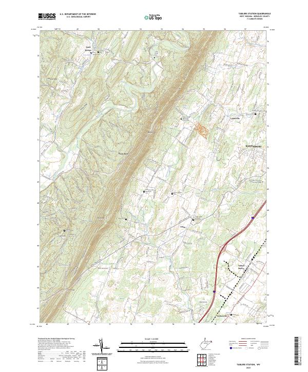
2023 Map of Tablers Station
USGS Topo · Published 2023About this map
Jones Springs and the rural stretches of Berkeley County are defined by the prominent ridge lines of North Mountain and Leading Ridge. This 2023 survey highlights a dense network of local landmarks, particularly numerous burial grounds such as Jones Springs Cem, Calvary Cem, and the Jacob Snider Cem. Small settlements like Arden and Darkesville sit alongside the larger hub of Martinsburg in the east.
Find a feature on this map
157 named features on this map. Tap any name to fly to it.
Don’t see what you’re looking for? This feature index may not catch every label — zoom into the map to look around manually.
Map Details
Editions of this 2023 Tablers Station Map
This is the sole edition of this map. No revisions or reprints were ever made.
Historical Maps of Arden Through Time
9 maps found

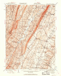
1914 Gerrardstown
Berkeley County, WV

1916 Gerrardstown
Berkeley County, WV
1937 Gerrardstown
Berkeley County, WV
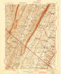
1943 Gerrardstown
Berkeley County, WV
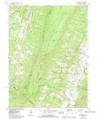
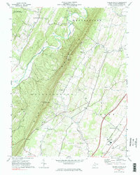
1965 Glengary
Berkeley County, WV
1972 Tablers Station
Berkeley County, WV
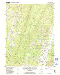
1996 Glengary
Berkeley County, WV
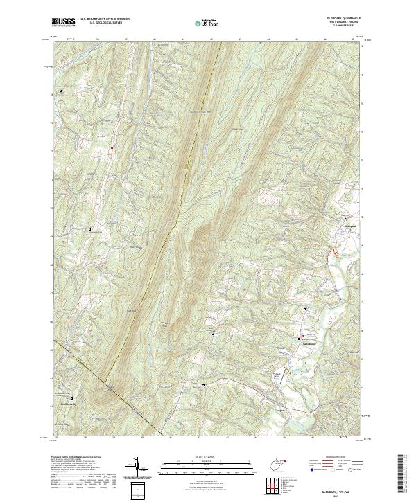
2023 Glengary
Berkeley County, WV
2023 Tablers Station
Berkeley County, WV