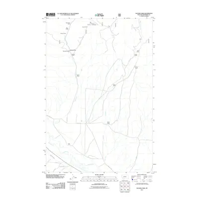
2011 Map of Tacoma Park
USGS Topo · Published 2011About this map
Rex Mine, Bob Mine, and the Elkhorn Queen Mine crown the northern highlands of this Jefferson County landscape, highlighting the area's deep-rooted connection to mineral extraction. Situated south of these workings, Tacoma Park and the settlement of Blazing Place overlook a complex network of drainage gulches including Tacoma Gulch and Watertank Gulch. The southern portion of the map is defined by the wider valley of the Boulder River, where the Carey-Twohy Ditch and Lazy T Ranch represent the region's agricultural and water management history. This 2011 survey documents a rugged Montana terrain where high-elevation mining claims transition into irrigated river bottoms, connected by forest roads like NFD 517 RD and primitive trails such as Rodeo Trl.
Find a feature on this map
33 named features on this map. Tap any name to fly to it.
Don’t see what you’re looking for? This feature index may not catch every label — zoom into the map to look around manually.
Map Details
Editions of this 2011 Tacoma Park Map
This is the sole edition of this map. No revisions or reprints were ever made.
Other maps of this area

1886 · Fort Logan
USGS Topo · 1:250,000

1889 · Helena
USGS Topo · 1:250,000

1893 · Helena
USGS Topo · 1:250,000

1899 · Boulder
USGS Topo · 1:125,000

1899 · Helena
USGS Topo · 1:250,000

1903 · Helena
USGS Topo · 1:250,000

1947 · Butte
USGS Topo · 1:250,000

1948 · White Sulphur Springs
USGS Topo · 1:250,000

1950 · Devils Fence
USGS Topo · 1:62,500

1950 · Jefferson City
USGS Topo · 1:62,500