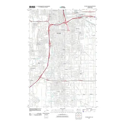
2011 Map of Tacoma South
USGS Topo · Published 2011About this map
Tacoma and its southern residential and industrial reaches are mapped here during a period of established urban density, following the winding course of the Puyallup River near Tacoma Junction. The map captures the distinct neighborhood identities of places like Fern Hill, Parkland, and Salishan, alongside institutional anchors such as Pacific Lutheran University. Significant infrastructure for the city's water and commerce is evident through the Hood Street Reservoir and numerous post offices including Lincoln Station Tacoma Post Office.
Find a feature on this map
230 named features on this map. Tap any name to fly to it.
Don’t see what you’re looking for? This feature index may not catch every label — zoom into the map to look around manually.
Map Details
Editions of this 2011 Tacoma South Map
This is the sole edition of this map. No revisions or reprints were ever made.
Other maps of this area

1897 · Tacoma
USGS Topo · 1:125,000

1900 · Tacoma
USGS Topo · 1:125,000

1940 · Anderson Island
USGS Topo · 1:62,500

1941 · Tacoma South
USGS Topo · 1:62,500

1942 · Gig Harbor
USGS Topo · 1:62,500

1943 · Gig Harbor
USGS Topo · 1:62,500

1944 · Tacoma South
USGS Topo · 1:62,500

1948 · Anderson Island
USGS Topo · 1:62,500

1948 · Fort Lewis
USGS Topo · 1:24,000

1948 · Steilacoom
USGS Topo · 1:24,000