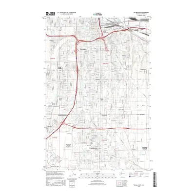
2017 Map of Tacoma South
USGS Topo · Published 2017About this map
Tacoma and its southern residential and industrial suburbs are detailed here, illustrating the transition from the city core to the extensive grounds of McChord Field. The map records a modern urban landscape where major transit corridors like Interstate 5 and State Highway 509 intersect with older geography such as the Tacoma Eastern Gulch and the banks of the Puyallup River. Educational institutions form prominent anchors in the community, including the University of Washington Tacoma Campus downtown and Pacific Lutheran University further south in Parkland.
Find a feature on this map
59 named features on this map. Tap any name to fly to it.
Don’t see what you’re looking for? This feature index may not catch every label — zoom into the map to look around manually.
Map Details
Editions of this 2017 Tacoma South Map
This is the sole edition of this map. No revisions or reprints were ever made.
Other maps of this area

1897 · Tacoma
USGS Topo · 1:125,000

1900 · Tacoma
USGS Topo · 1:125,000

1940 · Anderson Island
USGS Topo · 1:62,500

1941 · Tacoma South
USGS Topo · 1:62,500

1942 · Gig Harbor
USGS Topo · 1:62,500

1943 · Gig Harbor
USGS Topo · 1:62,500

1944 · Tacoma South
USGS Topo · 1:62,500

1948 · Anderson Island
USGS Topo · 1:62,500

1948 · Fort Lewis
USGS Topo · 1:24,000

1948 · Steilacoom
USGS Topo · 1:24,000