
1900 Map of Taconic
USGS Topo · Published 1900About this map
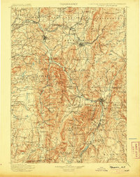
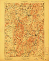
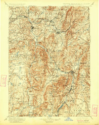
Mt. Greylock dominates the southern landscape where the borders of New York, Massachusetts, and Vermont converge. This 1900 survey documents the complex industrial and transit network of the Taconic region during a period of heavy rail reliance. The Hoosic River valley serves as the primary artery for both commerce and transport, with Hoosick Falls and North Adams emerging as significant population centers. The map reveals a dense web of short-line and regional railroads, including the Fitchburg R.R. and the Lebanon Springs R.R., which linked these manufacturing towns to broader markets.
Find a feature on this map
257 named features on this map. Tap any name to fly to it.
Don’t see what you’re looking for? This feature index may not catch every label — zoom into the map to look around manually.
Map Details
Editions of this 1900 Taconic Map
4 editions found
Other maps of this area

1886 · Greylock
USGS Topo · 1:62,500

1886 · Hawley
USGS Topo · 1:62,500

1886 · Chesterfield
USGS Topo · 1:62,500

1886 · Becket
USGS Topo · 1:62,500

1888 · Becket
USGS Topo · 1:62,500

1888 · Berlin
USGS Topo · 1:62,500

1888 · Chesterfield
USGS Topo · 1:62,500

1888 · Pittsfield
USGS Topo · 1:62,500

1889 · Wilmington
USGS Topo · 1:62,500

1890 · Hawley
USGS Topo · 1:62,500