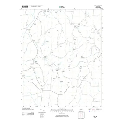
2010 Map of Taft
USGS Topo · Published 2010About this map
The Elk River winds through the northern reaches of this Tennessee landscape, defining the topography near Sumners Bend and Hobbs Bridge. The terrain is characterized by a dense network of named hollows, such as Stillhouse Hollow, Twitty Hollow, and Poorhouse Hollow, which reflect the localized geography of rural Lincoln County. Small-scale water management is evident at Whitaker Lake Dam and Carter Lake Dam, providing anchor points for local infrastructure.
Find a feature on this map
119 named features on this map. Tap any name to fly to it.
Don’t see what you’re looking for? This feature index may not catch every label — zoom into the map to look around manually.
Map Details
Editions of this 2010 Taft Map
This is the sole edition of this map. No revisions or reprints were ever made.
Other maps of this area

1888 · Huntsville
USGS Topo · 1:125,000

1892 · Huntsville
USGS Topo · 1:125,000

1936 · Taft
USGS Topo · 1:24,000

1936 · Fisk
USGS Topo · 1:24,000

1936 · Boonshill
USGS Topo · 1:24,000

1936 · Ardmore
USGS Topo · 1:24,000

1936 · Lincoln
USGS Topo · 1:24,000

1936 · Toney
USGS Topo · 1:24,000

1936 · Frankewing
USGS Topo · 1:24,000

1936 · Fayetteville
USGS Topo · 1:24,000