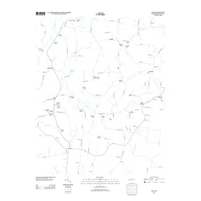
2013 Map of Taft
USGS Topo · Published 2013About this map
Taft and Coldwater anchor this corner of Lincoln County, where the landscape is defined by the winding Elk River and a dense network of hollows that speak to generations of rural life. The terrain is deeply carved, featuring many family-named landmarks such as Thompson Hollow, Robinson Hollow, and Ballard Hollow. These geographic depressions, often associated with small watercourses like Coldwater Cr and Molino Cr, traditionally dictated the placement of homesteads and roads in this part of Tennessee.
Find a feature on this map
130 named features on this map. Tap any name to fly to it.
Don’t see what you’re looking for? This feature index may not catch every label — zoom into the map to look around manually.
Map Details
Editions of this 2013 Taft Map
This is the sole edition of this map. No revisions or reprints were ever made.
Other maps of this area

1888 · Huntsville
USGS Topo · 1:125,000

1892 · Huntsville
USGS Topo · 1:125,000

1936 · Taft
USGS Topo · 1:24,000

1936 · Fisk
USGS Topo · 1:24,000

1936 · Boonshill
USGS Topo · 1:24,000

1936 · Ardmore
USGS Topo · 1:24,000

1936 · Lincoln
USGS Topo · 1:24,000

1936 · Toney
USGS Topo · 1:24,000

1936 · Frankewing
USGS Topo · 1:24,000

1936 · Fayetteville
USGS Topo · 1:24,000