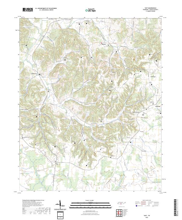
2022 Map of Taft
USGS Topo · Published 2022About this map
Taft and Molino anchor this survey of the Tennessee-Alabama borderlands, where the landscape is defined by a dense network of hollows and family-named cemeteries. The terrain transitions from the steep ridges of Potato Hill and Pea Ridge to the bottomlands of the Elk River and Coldwater Creek. Genealogists will find a wealth of specific local history through numerous burial sites such as the Rawls Cemetery, Sulser Cemetery, and the R W Pitts Family Cemetery.
Find a feature on this map
147 named features on this map. Tap any name to fly to it.
Don’t see what you’re looking for? This feature index may not catch every label — zoom into the map to look around manually.
Map Details
Editions of this 2022 Taft Map
This is the sole edition of this map. No revisions or reprints were ever made.
Other maps of this area

1888 · Huntsville
USGS Topo · 1:125,000

1892 · Huntsville
USGS Topo · 1:125,000

1936 · Taft
USGS Topo · 1:24,000

1936 · Fisk
USGS Topo · 1:24,000

1936 · Boonshill
USGS Topo · 1:24,000

1936 · Ardmore
USGS Topo · 1:24,000

1936 · Lincoln
USGS Topo · 1:24,000

1936 · Toney
USGS Topo · 1:24,000

1936 · Frankewing
USGS Topo · 1:24,000

1936 · Fayetteville
USGS Topo · 1:24,000