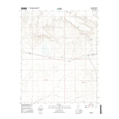
2017 Map of Taiban
USGS Topo · Published 2017About this map
Taiban serves as the primary focal point of this Eastern New Mexico landscape, situated at the intersection of a highway and local routes. This high plains environment is defined by dramatic geological transitions, notably where the flat expanse of Taiban Mesa gives way to The Cap Rock and the prominent Taiban Peak. Water, a critical resource in this arid territory, is marked by Dripping Spring, Taiban Spring, and the seasonal expanse of Red Lake.
Find a feature on this map
23 named features on this map. Tap any name to fly to it.
Don’t see what you’re looking for? This feature index may not catch every label — zoom into the map to look around manually.
Map Details
Editions of this 2017 Taiban Map
This is the sole edition of this map. No revisions or reprints were ever made.
Other maps of this area

1954 · Fort Sumner
USGS Topo · 1:250,000

1954 · Clovis
USGS Topo · 1:250,000

1958 · Fort Sumner
USGS Topo · 1:250,000

1958 · Clovis
USGS Topo · 1:250,000

1968 · Lomas Gatos
USGS Topo · 1:24,000

1968 · Fort Sumner East
USGS Topo · 1:24,000

1968 · Candy Mesa
USGS Topo · 1:24,000

1968 · Taiban
USGS Topo · 1:24,000

1968 · Bonner Lake
USGS Topo · 1:24,000

1968 · Twin Mesa
USGS Topo · 1:24,000