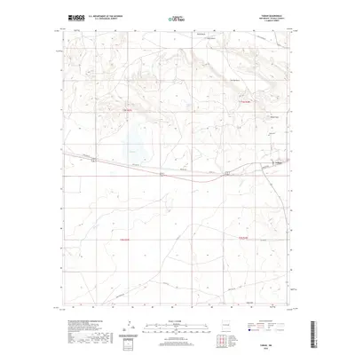
2020 Map of Taiban
USGS Topo · Published 2020About this map
The settlement of Taiban sits along the eastern edge of De Baca County, marking a site of enduring human presence in the high plains landscape. This modern survey illustrates how infrastructure and natural hydrology define the region, with Red Lake Rd and Munger Ave connecting the small community to the surrounding rangeland. To the north, the sharp elevation change of The Cap-Rock and the broad expanse of Taiban Mesa create a dramatic backdrop, while Taiban Peak stands as a prominent local landmark near the Taiban Cem.
Find a feature on this map
24 named features on this map. Tap any name to fly to it.
Don’t see what you’re looking for? This feature index may not catch every label — zoom into the map to look around manually.
Map Details
Editions of this 2020 Taiban Map
This is the sole edition of this map. No revisions or reprints were ever made.
Other maps of this area

1954 · Fort Sumner
USGS Topo · 1:250,000

1954 · Clovis
USGS Topo · 1:250,000

1958 · Fort Sumner
USGS Topo · 1:250,000

1958 · Clovis
USGS Topo · 1:250,000

1968 · Lomas Gatos
USGS Topo · 1:24,000

1968 · Fort Sumner East
USGS Topo · 1:24,000

1968 · Candy Mesa
USGS Topo · 1:24,000

1968 · Taiban
USGS Topo · 1:24,000

1968 · Bonner Lake
USGS Topo · 1:24,000

1968 · Twin Mesa
USGS Topo · 1:24,000