1989 Map of Takilma
USGS Topo · Published 1989About this map
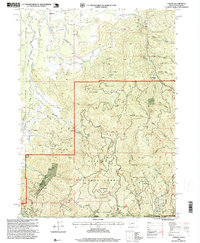
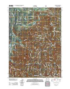
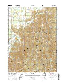
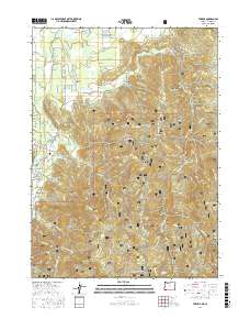
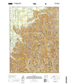
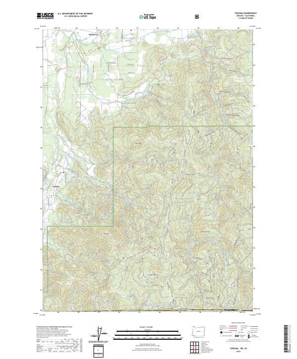
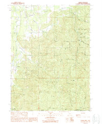
Bridgeview and Democrat mark the northern reaches of this mountainous landscape along the Illinois and California border. This 1989 provisional survey, compiled from early 1980s aerial photography, captures the intricate drainages of the Siskiyou National Forest before modern digital mapping standardizations. The terrain is characterized by a dense network of gulches and creeks, indicating a landscape historically shaped by small-scale hydraulic mining and timber interests. The distribution of small settlements like Bridgeview suggests a community pattern closely tied to the watercourses of the Illinois Valley, where early residents established homesteads and mining claims in the rugged interior of Josephine County.
Find a feature on this map
2 named features on this map. Tap any name to fly to it.
Don’t see what you’re looking for? This feature index may not catch every label — zoom into the map to look around manually.
Map Details
Editions of this 1989 Takilma Map
This is the sole edition of this map. No revisions or reprints were ever made.
Historical Maps of Takilma Through Time
7 maps found