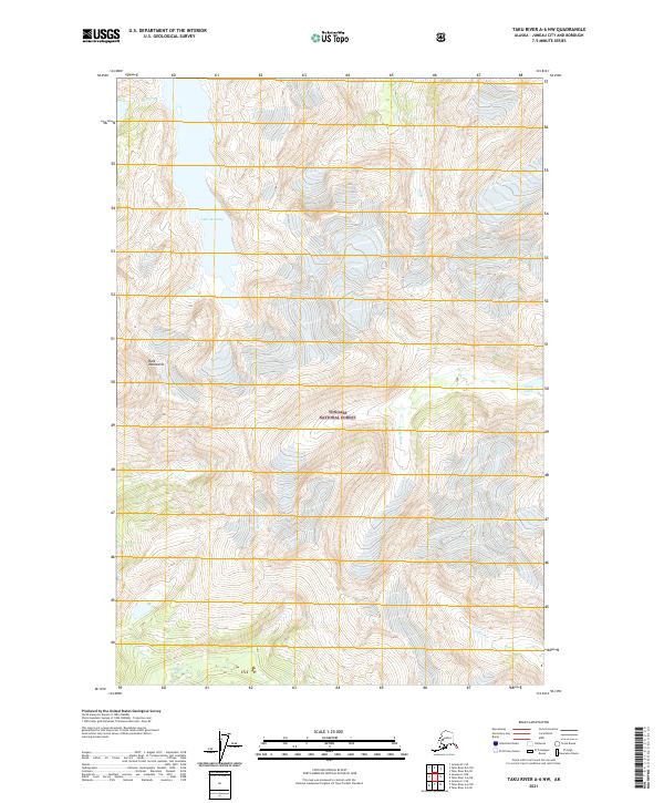
2021 Map of Taku River A-6 NW
USGS Topo · Published 2021About this map
The Tongass National Forest dominates this Alaskan landscape, where steep coastal terrain is defined by dramatic glacial valleys and high alpine lakes. Central to the map is Lake Dorothy, fed by the cascading waters of Dorothy Cr as it flows through the Bald Mountains. The mapping of these remote water systems reflects the complex hydrology of the Juneau area, where the Long River and Long Lake serve as primary drainage features. To the south, Crater Cr carves through deep contours, illustrating the unpopulated and largely inaccessible character of this wilderness area. This modern survey provides an exact record of the shoreline and elevation patterns that have shaped the region's natural history and hydroelectric potential.
Find a feature on this map
11 named features on this map. Tap any name to fly to it.
Don’t see what you’re looking for? This feature index may not catch every label — zoom into the map to look around manually.
Map Details
Editions of this 2021 Taku River A-6 NW Map
This is the sole edition of this map. No revisions or reprints were ever made.
Other maps of this area

1948 · Juneau B-1
USGS Topo · 1:63,360

1951 · Juneau
USGS Topo · 1:250,000

1951 · Taku River B-6
USGS Topo · 1:63,360

1951 · Taku River A-6
USGS Topo · 1:63,360

1951 · Juneau A-1
USGS Topo · 1:63,360

1952 · Juneau B-1
USGS Topo · 1:63,360

1953 · Taku River
USGS Topo · 1:250,000

1954 · Juneau A-1
USGS Topo · 1:63,360

1960 · Taku River
USGS Topo · 1:250,000

1962 · Juneau
USGS Topo · 1:250,000