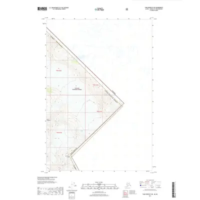
2017 Map of Taku River B-5 NE
USGS Topo · Published 2017About this map
Tongass National Forest dominates the high-altitude landscape of this 2017 survey, where the international boundary between the United States of America and Canada cuts across the ice and rock of the Coast Mountains. This remote section of the Alaska Juneau Borough is defined by massive glaciated terrain, including the northern extent of the Wright Glacier. The presence of Mt Fremont Morse underscores the dramatic verticality of the region, where surveyors have recorded elevations exceeding 6,000 feet within a few miles of the border. The map provides a precise look at the township and range divisions, such as t39s r73e and t40s r73e, which organize this wilderness area along the southeastern Alaskan frontier.
Find a feature on this map
11 named features on this map. Tap any name to fly to it.
Don’t see what you’re looking for? This feature index may not catch every label — zoom into the map to look around manually.
Map Details
Editions of this 2017 Taku River B-5 NE Map
This is the sole edition of this map. No revisions or reprints were ever made.
Other maps of this area

1951 · Taku River B-5
USGS Topo · 1:63,360

1953 · Taku River
USGS Topo · 1:250,000
1960 · Taku River C-5
USGS Topo · 1:63,360

1960 · Taku River
USGS Topo · 1:250,000
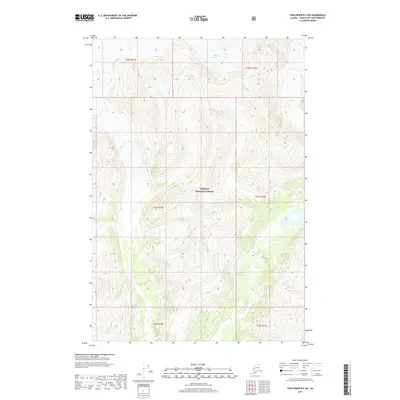
2017 · Taku River B-5 SW
USGS Topo · 1:25,000
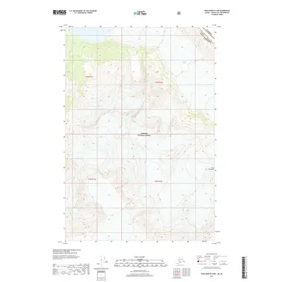
2017 · Taku River B-5 NW
USGS Topo · 1:25,000
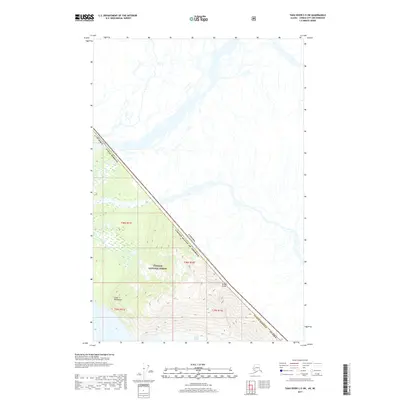
2017 · Taku River C-5 SW
USGS Topo · 1:25,000
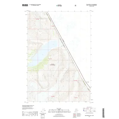
2017 · Taku River B-5 SE
USGS Topo · 1:25,000
2017 · Taku River B-5 OE E SW
USGS Topo · 1:25,000
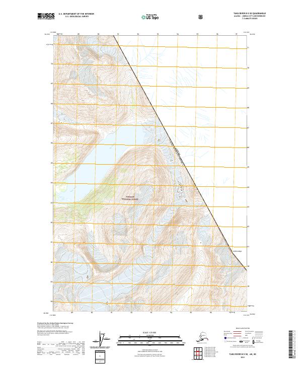
2021 · Taku River B-5 SE
USGS Topo · 1:25,000