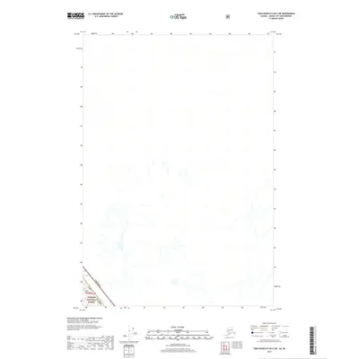
2017 Map of Taku River B-5 OE E SW
USGS Topo · Published 2017About this map
The Coast Mountains dominate the southwestern corner of this survey, where the international boundary between the Alaska Panhandle and British Columbia, Canada is clearly delineated. This 2017 study captures a remote portion of the Tongass National Forest, showcasing a landscape defined by high-elevation terrain and an intricate network of glacial drainages. The map provides a precise look at the border zone in the early 21st century, illustrating how the geopolitical boundary follows the natural ridgelines of the mountain range. While much of the sheet is dedicated to the hydrological features of the upper Taku River watershed, the inclusion of public land designations like Tongass National Forest highlights the managed nature of this vast wilderness area near the northern Pacific coast.
Find a feature on this map
5 named features on this map. Tap any name to fly to it.
Don’t see what you’re looking for? This feature index may not catch every label — zoom into the map to look around manually.
Map Details
Editions of this 2017 Taku River B-5 OE E SW Map
This is the sole edition of this map. No revisions or reprints were ever made.
Other maps of this area

1951 · Taku River A-4
USGS Topo · 1:63,360

1951 · Taku River A-5
USGS Topo · 1:63,360

1951 · Taku River B-5
USGS Topo · 1:63,360

1953 · Taku River
USGS Topo · 1:250,000

1960 · Taku River
USGS Topo · 1:250,000
1996 · Taku River A-5
USGS Topo · 1:63,360
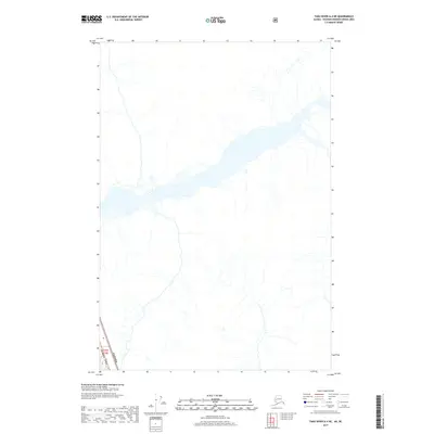
2017 · Taku River A-4 NE
USGS Topo · 1:25,000
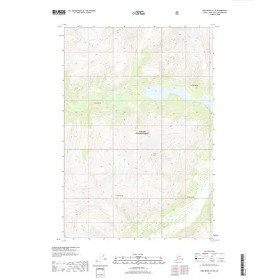
2017 · Taku River A-5 NE
USGS Topo · 1:25,000
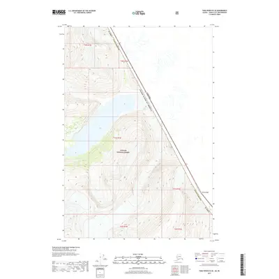
2017 · Taku River B-5 SE
USGS Topo · 1:25,000
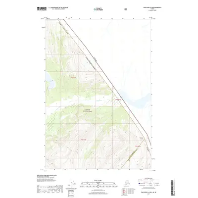
2017 · Taku River A-4 NW
USGS Topo · 1:25,000