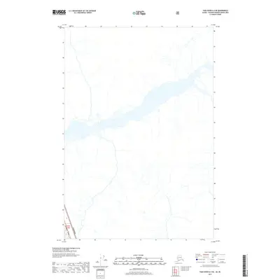
2017 Map of Taku River A-4 NE
USGS Topo · Published 2017About this map
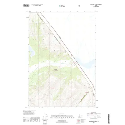
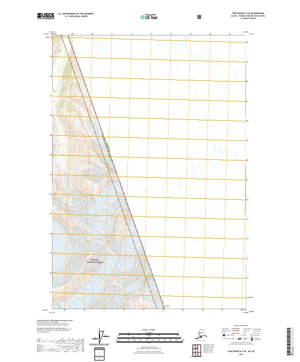
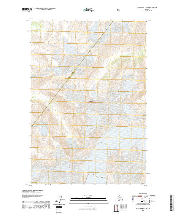
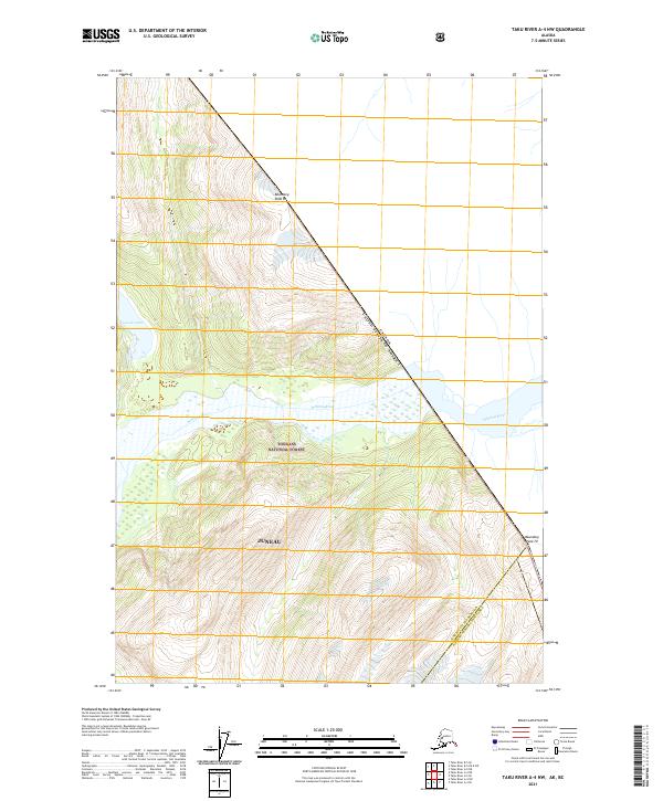
The international boundary of Alaska USA Canada cuts across the extreme southwest corner of this map, marking the high-altitude divide between the United States and British Columbia. This survey covers a glaciated landscape dominated by the intricate drainage systems and glacial outwash plains of the Taku River region. The terrain is characterized by a dense network of unnamed alpine streams feeding into broader glacial valleys, with township markers like T43s R75e providing the only terrestrial survey references in an otherwise uninhabited wilderness. The absence of roads, settlements, or named structures highlights the isolated nature of this northern frontier, where the geography is defined purely by ice-carved topography and hydrological flow.
Find a feature on this map
2 named features on this map. Tap any name to fly to it.
Don’t see what you’re looking for? This feature index may not catch every label — zoom into the map to look around manually.
Map Details
Editions of this 2017 Taku River A-4 NE Map
This is the sole edition of this map. No revisions or reprints were ever made.
Other maps of this area

1951 · Taku River A-4
USGS Topo · 1:63,360

1953 · Taku River
USGS Topo · 1:250,000

1960 · Taku River
USGS Topo · 1:250,000
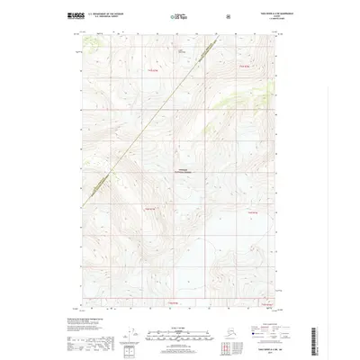
2017 · Taku River A-4 SW
USGS Topo · 1:25,000
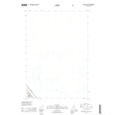
2017 · Taku River B-5 OE E SW
USGS Topo · 1:25,000
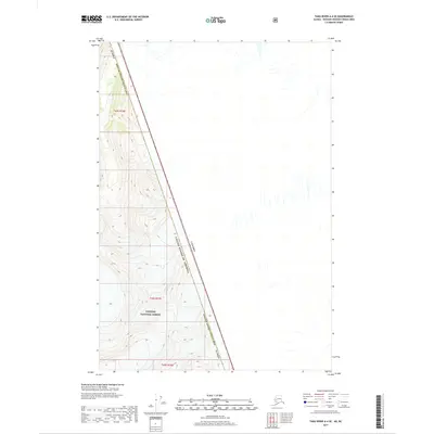
2017 · Taku River A-4 SE
USGS Topo · 1:25,000
2017 · Taku River A-4 NW
USGS Topo · 1:25,000
2021 · Taku River A-4 SE
USGS Topo · 1:25,000
2021 · Taku River A-4 SW
USGS Topo · 1:25,000
2021 · Taku River A-4 NW
USGS Topo · 1:25,000