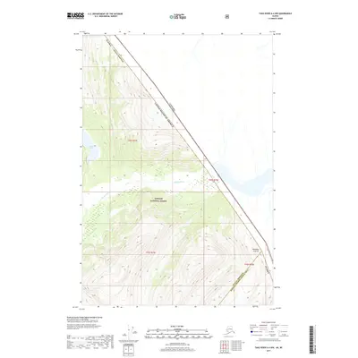
2017 Map of Taku River A-4 NW
USGS Topo · Published 2017About this map
The Tongass National Forest dominates this Alaskan frontier, where the international boundary between the United States and Canada cuts diagonally across high-elevation ridges. The topography is defined by sharp vertical relief and ice-field drainages, most notably the Whiting River as it flows westward through glacial valleys. Near the northern edge of the map, Crescent Lake sits tucked into a high alpine basin, while to the southeast, Boundary Peak 79 stands as a primary surveying marker on the international line. This 2017 survey illustrates the complex jurisdictional borders where the Juneau Borough meets the Hoonah-Angoon Census Area, capturing a landscape defined by natural barriers rather than human infrastructure.
Find a feature on this map
12 named features on this map. Tap any name to fly to it.
Don’t see what you’re looking for? This feature index may not catch every label — zoom into the map to look around manually.
Map Details
Editions of this 2017 Taku River A-4 NW Map
This is the sole edition of this map. No revisions or reprints were ever made.
Other maps of this area

1951 · Taku River A-4
USGS Topo · 1:63,360

1951 · Taku River A-5
USGS Topo · 1:63,360

1951 · Taku River B-5
USGS Topo · 1:63,360

1953 · Taku River
USGS Topo · 1:250,000

1960 · Taku River
USGS Topo · 1:250,000
1996 · Taku River A-5
USGS Topo · 1:63,360
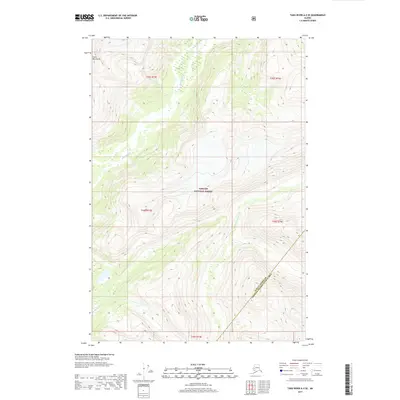
2017 · Taku River A-5 SE
USGS Topo · 1:25,000
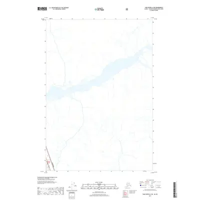
2017 · Taku River A-4 NE
USGS Topo · 1:25,000
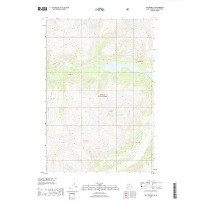
2017 · Taku River A-5 NE
USGS Topo · 1:25,000
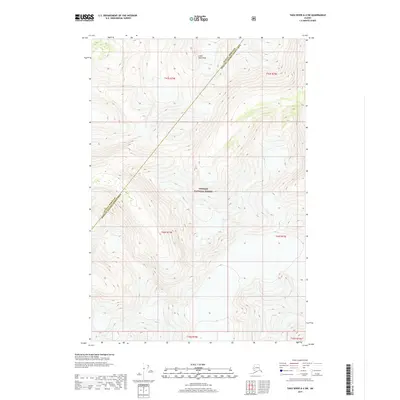
2017 · Taku River A-4 SW
USGS Topo · 1:25,000