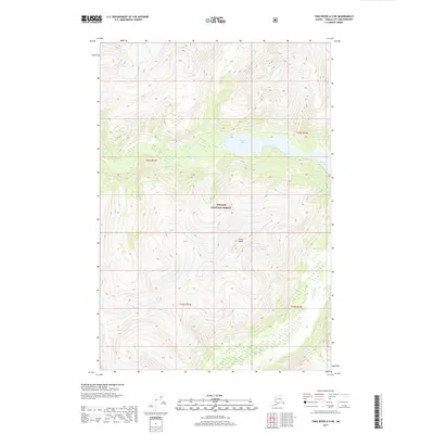
2017 Map of Taku River A-5 NE
USGS Topo · Published 2017About this map
Tongass National Forest dominates this Alaskan landscape, characterized by the dramatic elevation changes of the Coast Mountains. The high-altitude terrain is anchored by the Snow Tower peak, which stands as a prominent landmark amidst the surrounding ice and rock. Significant glacial drainage and freshwater systems are evident, with Crescent Lake positioned in the central-east and the Whiting River carving through the southern reaches. This 2017 survey reflects the remote, untamed character of the Juneau City and Borough, where the primary features are shaped by geological forces rather than human settlement. The map provides a detailed view of the township and range boundaries, including t42s r73e and t43s r74e, illustrating the vast scale of the protected forest lands in this portion of the Panhandle.
Find a feature on this map
8 named features on this map. Tap any name to fly to it.
Don’t see what you’re looking for? This feature index may not catch every label — zoom into the map to look around manually.
Map Details
Editions of this 2017 Taku River A-5 NE Map
This is the sole edition of this map. No revisions or reprints were ever made.
Other maps of this area

1951 · Taku River A-4
USGS Topo · 1:63,360

1951 · Taku River A-5
USGS Topo · 1:63,360

1951 · Taku River B-5
USGS Topo · 1:63,360

1953 · Taku River
USGS Topo · 1:250,000

1960 · Taku River
USGS Topo · 1:250,000
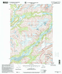
1996 · Taku River A-5
USGS Topo · 1:63,360
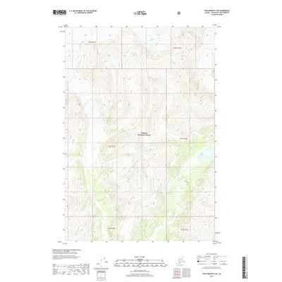
2017 · Taku River B-5 SW
USGS Topo · 1:25,000
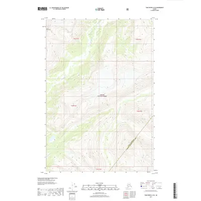
2017 · Taku River A-5 SE
USGS Topo · 1:25,000
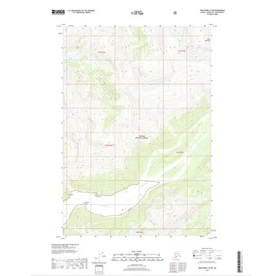
2017 · Taku River A-5 SW
USGS Topo · 1:25,000
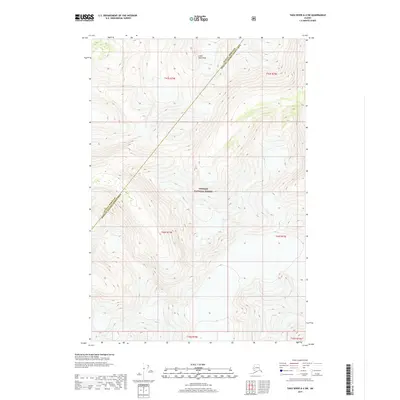
2017 · Taku River A-4 SW
USGS Topo · 1:25,000