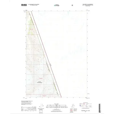
2017 Map of Taku River A-4 SE
USGS Topo · Published 2017About this map
The international boundary between the United States of America and Canada slices diagonally through this high-altitude landscape, marking a remote section of the frontier. Within the Hoonah-Angoon Census Area, the terrain is defined by the steep, glaciated slopes of the Tongass National Forest. This 2017 survey illustrates the stark isolation of the borderlands, where the lack of roads or established settlements emphasizes a wilderness governed by topography. The map detail highlights the intersection of international diplomacy and physical geography, showing how the surveyed line traverses the high ridges and peaks above the Taku River region.
Find a feature on this map
6 named features on this map. Tap any name to fly to it.
Don’t see what you’re looking for? This feature index may not catch every label — zoom into the map to look around manually.
Map Details
Editions of this 2017 Taku River A-4 SE Map
This is the sole edition of this map. No revisions or reprints were ever made.
Other maps of this area

1951 · Taku River A-4
USGS Topo · 1:63,360

1952 · Sumdum
USGS Topo · 1:250,000

1953 · Taku River
USGS Topo · 1:250,000

1960 · Taku River
USGS Topo · 1:250,000

1960 · Sumdum D-4
USGS Topo · 1:63,360

1961 · Sumdum D-3
USGS Topo · 1:63,360

1961 · Sumdum
USGS Topo · 1:250,000
1994 · Sumdum D-4
USGS Topo · 1:63,360
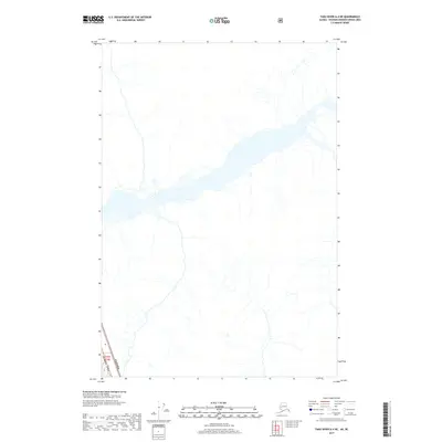
2017 · Taku River A-4 NE
USGS Topo · 1:25,000
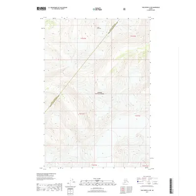
2017 · Taku River A-4 SW
USGS Topo · 1:25,000