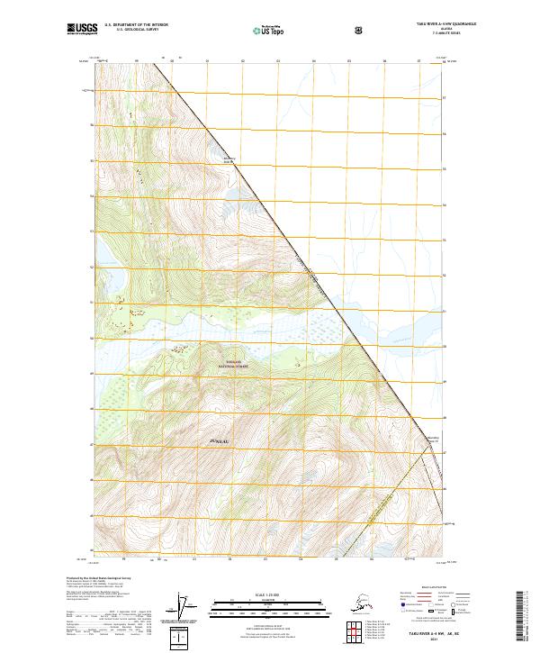
2021 Map of Taku River A-4 NW
USGS Topo · Published 2021About this map
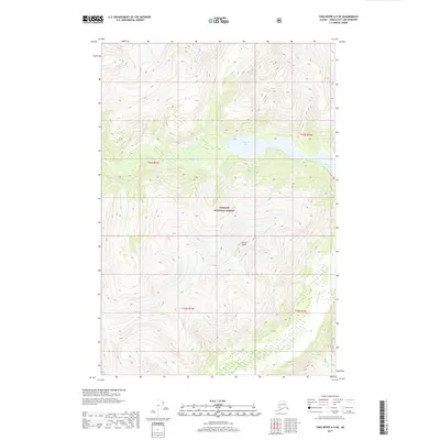
Whiting River flows through the heart of this landscape, its braided channels carving a path through the southern reaches of the Tongass National Forest. This remote portion of the Juneau region is defined by the high-altitude international border, where the survey line for the Canada United States of America boundary runs along the peaks of the Coast Mountains. The map documents high-alpine terrain including Boundary Peak 83 and Boundary Peak 79, marking the literal edge of the nation. In the northwestern corner, Crescent Lake sits tucked into the steep topography, providing a significant freshwater landmark in a territory otherwise dominated by glaciated ridges and the expansive river drainage system. The transition between the Juneau City and Borough Hoonah-Angoon Census Area is also recorded here, showing the administrative limits of the Alaskan wilderness.
Find a feature on this map
12 named features on this map. Tap any name to fly to it.
Don’t see what you’re looking for? This feature index may not catch every label — zoom into the map to look around manually.
Map Details
Editions of this 2021 Taku River A-4 NW Map
This is the sole edition of this map. No revisions or reprints were ever made.
Other maps of this area

1951 · Taku River A-4
USGS Topo · 1:63,360

1951 · Taku River A-5
USGS Topo · 1:63,360

1951 · Taku River B-5
USGS Topo · 1:63,360

1953 · Taku River
USGS Topo · 1:250,000

1960 · Taku River
USGS Topo · 1:250,000
1996 · Taku River A-5
USGS Topo · 1:63,360
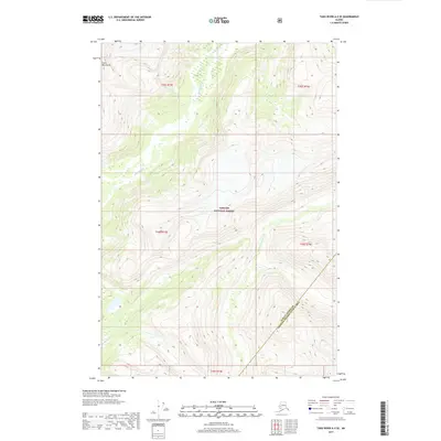
2017 · Taku River A-5 SE
USGS Topo · 1:25,000
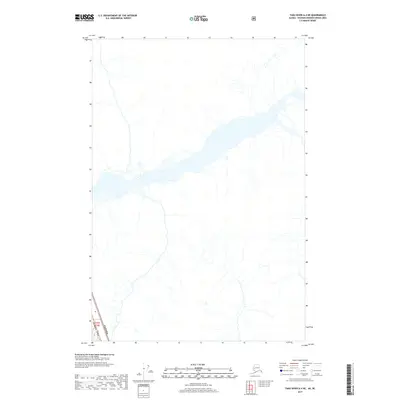
2017 · Taku River A-4 NE
USGS Topo · 1:25,000
2017 · Taku River A-5 NE
USGS Topo · 1:25,000
2017 · Taku River A-4 SW
USGS Topo · 1:25,000