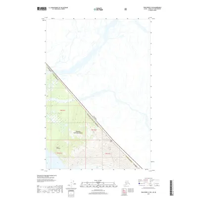
2017 Map of Taku River C-5 SW
USGS Topo · Published 2017About this map
Tongass National Forest dominates the southwestern corner of this survey, where the international boundary between Canada and the United States follows the dramatic heights of the Coast 2 Mountains. This high-altitude landscape is defined by the steep slopes of Wright Peaks and the massive expanse of the Wright Glacier, which flows through the southeastern section of the quadrangle. The map captures a literal edge of the nation, where the Juneau Borough meets British Columbia. Water features are sparse at these elevations, though Fish Cr drains the upper slopes within the forest boundaries. The survey provides a precise look at the glacial and mountainous terrain before the effects of modern climatic shifts further alter these high-latitude ice fields.
Find a feature on this map
12 named features on this map. Tap any name to fly to it.
Don’t see what you’re looking for? This feature index may not catch every label — zoom into the map to look around manually.
Map Details
Editions of this 2017 Taku River C-5 SW Map
This is the sole edition of this map. No revisions or reprints were ever made.
Other maps of this area

1951 · Taku River B-6
USGS Topo · 1:63,360

1951 · Taku River B-5
USGS Topo · 1:63,360

1953 · Taku River
USGS Topo · 1:250,000
1960 · Taku River C-5
USGS Topo · 1:63,360

1960 · Taku River C-6
USGS Topo · 1:63,360

1960 · Taku River
USGS Topo · 1:250,000

1994 · Taku River B-6
USGS Topo · 1:63,360

1995 · Taku River C-6
USGS Topo · 1:63,360
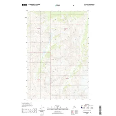
2017 · Taku River B-6 NE
USGS Topo · 1:25,000
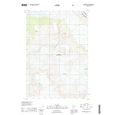
2017 · Taku River B-5 NW
USGS Topo · 1:25,000