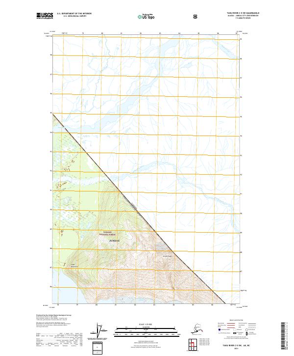
2021 Map of Taku River C-5 SW
USGS Topo · Published 2021About this map
Canada United States Of America is the defining diagonal boundary of this remote Alaskan landscape, where the jagged Coast Mountains meet the vast drainage basin of the Taku River. Situated within the Juneau city and borough, this 2021 survey documents the complex hydrological network of the Tongass National Forest, including the braided channels of the Sittakanay River and the glacial runoff of Fish Cr. The map highlights the high-elevation terrain around Wright Peaks and the retreating Wright Glacier, providing a modern look at how the Wright River and other tributaries like Stuhini Creek navigate this wilderness. The presence of the international border highlights the isolation of this region, where the only landmarks are the massive physical features of the Alaskan panhandle.
Find a feature on this map
16 named features on this map. Tap any name to fly to it.
Don’t see what you’re looking for? This feature index may not catch every label — zoom into the map to look around manually.
Map Details
Editions of this 2021 Taku River C-5 SW Map
This is the sole edition of this map. No revisions or reprints were ever made.
Other maps of this area

1951 · Taku River B-6
USGS Topo · 1:63,360

1951 · Taku River B-5
USGS Topo · 1:63,360

1953 · Taku River
USGS Topo · 1:250,000
1960 · Taku River C-5
USGS Topo · 1:63,360

1960 · Taku River C-6
USGS Topo · 1:63,360

1960 · Taku River
USGS Topo · 1:250,000

1994 · Taku River B-6
USGS Topo · 1:63,360

1995 · Taku River C-6
USGS Topo · 1:63,360
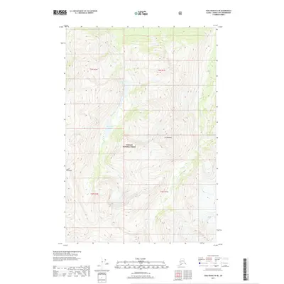
2017 · Taku River B-6 NE
USGS Topo · 1:25,000
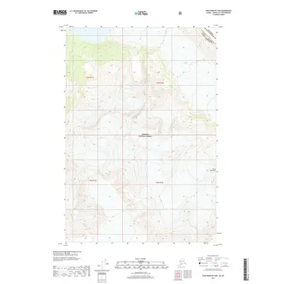
2017 · Taku River B-5 NW
USGS Topo · 1:25,000