
1973 Map of Talbot Butte
USGS Topo · Published 1977About this map
Talbot Butte rises above the prairie landscape of Bowman County, anchoring a terrain defined by the long-distance transport networks of the 1970s. The Chicago Milwaukee St Paul and Pacific railroad corridor runs horizontally across the sheet, paralleling the course of Buffalo Creek. This area illustrates the specialized land use of the northern plains, where designated grain belts met local recreational and social hubs. Near the western boundary, the Butte View State Campground and a nearby Drive-in Theater serve as landmarks of mid-century rural leisure. The drainage of South Fork Cedar Creek and Stage Creek further shapes the topography, providing a detailed record of the water resources vital to the region's agricultural and transit history.
Find a feature on this map
14 named features on this map. Tap any name to fly to it.
Don’t see what you’re looking for? This feature index may not catch every label — zoom into the map to look around manually.
Map Details
Editions of this 1973 Talbot Butte Map
This is the sole edition of this map. No revisions or reprints were ever made.
Other maps of this area

1953 · Dickinson
USGS Topo · 1:250,000

1957 · Dickinson
USGS Topo · 1:250,000

1968 · Bowman SW
USGS Topo · 1:24,000

1968 · Bowman
USGS Topo · 1:24,000

1969 · Scranton
USGS Topo · 1:24,000

1973 · Mineral Springs
USGS Topo · 1:24,000

1973 · Amidon SE
USGS Topo · 1:24,000
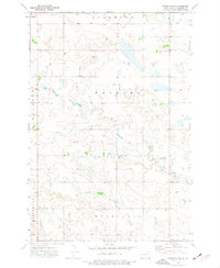
1973 · Scranton SW
USGS Topo · 1:24,000
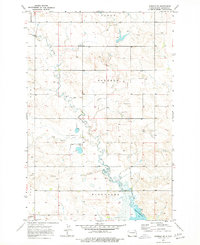
1973 · Bowman SE
USGS Topo · 1:24,000

1973 · Stewart Lake
USGS Topo · 1:24,000