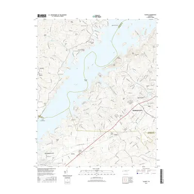
2016 Map of Talbott
USGS Topo · Published 2016About this map
Cherokee Lake dominates the landscape of this East Tennessee region, where the borders of Grainger, Hamblen, and Jefferson counties meet. The water has reshaped the valley, partially submerging features like Panthers Shoals and creating intricate shorelines around Horseshoe Bend. On higher ground, the suburban expansion of Morristown and Jefferson City is evident, particularly near the Moore-Murrell Airport and the community of Alpha.
Find a feature on this map
202 named features on this map. Tap any name to fly to it.
Don’t see what you’re looking for? This feature index may not catch every label — zoom into the map to look around manually.
Map Details
Editions of this 2016 Talbott Map
This is the sole edition of this map. No revisions or reprints were ever made.
Other maps of this area

1883 · Morristown
USGS Topo · 1:125,000

1893 · Morristown
USGS Topo · 1:125,000

1895 · Morristown
USGS Topo · 1:125,000

1897 · Maynardville
USGS Topo · 1:125,000

1900 · Maynardville
USGS Topo · 1:125,000

1935 · White Pine
USGS Topo · 1:24,000

1935 · Tate Springs
USGS Topo · 1:48,000

1935 · Straw Plains
USGS Topo · 1:48,000

1935 · Joppa
USGS Topo · 1:24,000

1935 · Avondale
USGS Topo · 1:24,000