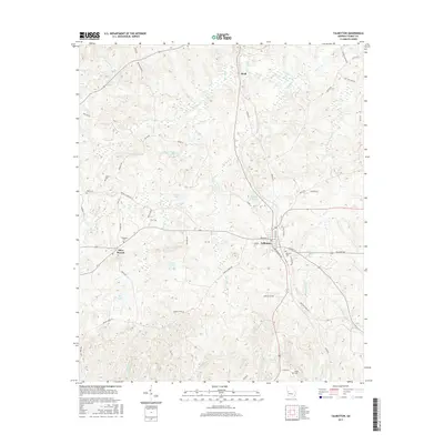
2017 Map of Talbotton
USGS Topo · Published 2017About this map
Talbotton serves as the central hub of this Georgia landscape, where a dense network of local roads like Washington Ave and Monroe St converge. The surrounding terrain is defined by a high concentration of family and community cemeteries, including Oak Hill Cem, Culpepper Cem, and the Steed Cem to the south. These sites, often situated near long-established routes such as Old Wire Rd, offer significant points of interest for genealogical research and local history.
Find a feature on this map
58 named features on this map. Tap any name to fly to it.
Don’t see what you’re looking for? This feature index may not catch every label — zoom into the map to look around manually.
Map Details
Editions of this 2017 Talbotton Map
This is the sole edition of this map. No revisions or reprints were ever made.
Other maps of this area

1907 · Talbotton
USGS Topo · 1:125,000

1934 · Warm Springs
USGS Topo · 1:62,500

1935 · Thomaston
USGS Topo · 1:48,000

1936 · Warm Springs
USGS Topo · 1:62,500

1939 · Thomaston
USGS Topo · 1:62,500

1949 · Upatoi
USGS Topo · 1:24,000

1950 · Talbotton
USGS Topo · 1:24,000

1950 · Geneva
USGS Topo · 1:24,000

1950 · Waverly Hall
USGS Topo · 1:24,000

1950 · Talbotton
USGS Topo · 1:62,500