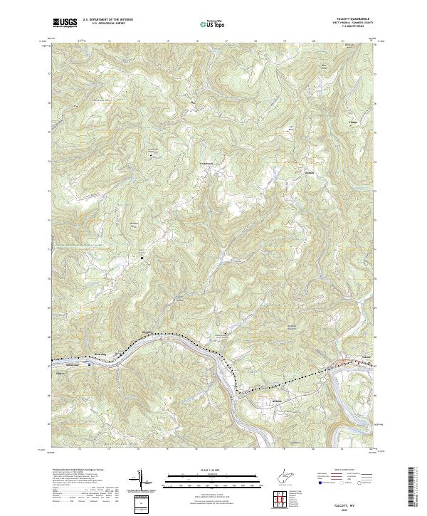
2023 Map of Talcott
USGS Topo · Published 2023About this map
The Greenbrier River meanders through the heart of this Appalachian landscape, defining the character of local settlements from Hinton and Bellepoint in the west to Talcott in the east. The river valley is a lifeline for small communities like Wiggins and Hilldale, while the surrounding heights of Keeney Mountain and Big Bend Mountain reflect the region's steep topography. Local history is deeply embedded in the land through several church cemeteries, including Shockley Hill Church Cem and Upland Church Cem, which overlook the various branches and hollows that feed into the main waterway.
Find a feature on this map
98 named features on this map. Tap any name to fly to it.
Don’t see what you’re looking for? This feature index may not catch every label — zoom into the map to look around manually.
Map Details
Editions of this 2023 Talcott Map
This is the sole edition of this map. No revisions or reprints were ever made.
Other maps of this area

1887 · Hinton
USGS Topo · 1:125,000

1892 · Hinton
USGS Topo · 1:125,000

1912 · Meadow Creek
USGS Topo · 1:48,000

1912 · Big Bend
USGS Topo · 1:62,500

1914 · Big Bend
USGS Topo · 1:62,500

1915 · Meadow Creek
USGS Topo · 1:62,500

1921 · Alderson
USGS Topo · 1:48,000

1921 · Clintonville
USGS Topo · 1:48,000

1923 · Clintonville
USGS Topo · 1:62,500
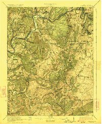
1923 · Alderson
USGS Topo · 1:62,500