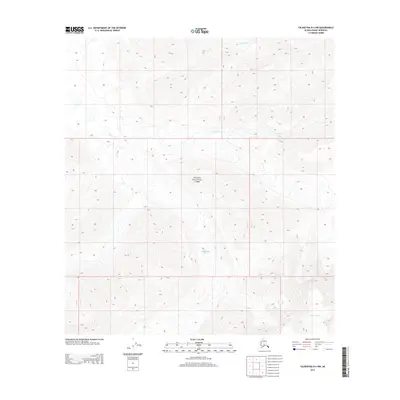
2014 Map of Talkeetna D-4 NW
USGS Topo · Published 2014About this map
Denali National Park encompasses most of this landscape in the Alaska-Denali Borough, where high-altitude ice and glacial runoff dictate the terrain's character. The massive ice field of the Chedotlothna Glacier dominates the central portion of the sheet, while the headwaters of the Yentna Glacier appear in the southeast corner. These slow-moving rivers of ice feed a complex drainage system, including the winding course of the Swift Fork and the tributary Barren Cr to the north. Surveyed during the early 21st century, the map illustrates the precise boundaries of township and range lines across this glaciated wilderness, showing how the federal government partitioned even the most inaccessible reaches of the Alaskan interior for park management and resource tracking.
Find a feature on this map
12 named features on this map. Tap any name to fly to it.
Don’t see what you’re looking for? This feature index may not catch every label — zoom into the map to look around manually.
Map Details
Editions of this 2014 Talkeetna D-4 NW Map
This is the sole edition of this map. No revisions or reprints were ever made.
Other maps of this area
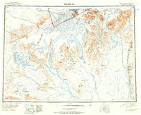
1950 · Talkeetna
USGS Topo · 1:250,000
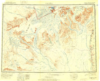
1951 · Talkeetna
USGS Topo · 1:250,000
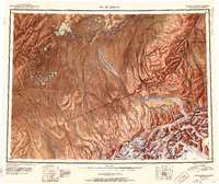
1952 · Mount McKinley
USGS Topo · 1:250,000
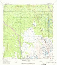
1952 · Mount McKinley A-5
USGS Topo · 1:63,360
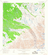
1953 · Mount McKinley A-4
USGS Topo · 1:63,360
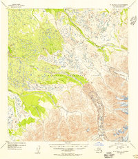
1954 · Mount McKinley A-4
USGS Topo · 1:63,360
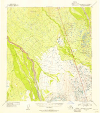
1954 · Mount McKinley A-5
USGS Topo · 1:63,360
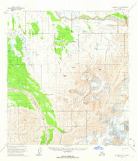
1958 · Talkeetna D-5
USGS Topo · 1:63,360
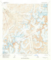
1958 · Talkeetna D-4
USGS Topo · 1:63,360
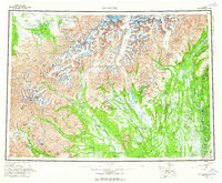
1958 · Talkeetna
USGS Topo · 1:250,000