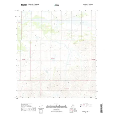
2017 Map of Talkeetna D-5 NE
USGS Topo · Published 2017About this map
Denali National Park encompasses the eastern portion of this high-latitude landscape, where the vast braid plain of the Swift Fork river dominates the northern terrain. The topographic detail reveals a stark contrast between the wide, glacial outwash of the river valley and the sharp relief of the southern peaks. Higher elevations are defined by prominent landmarks such as Heart Mtn and Little Mtn, which rise above a network of drainage systems including Boulder Creek and Canyon Cr. This 2017 survey by the U.S. Geological Survey captures the untouched character of the Denali Borough wilderness, illustrating how natural drainage patterns like Camp Cr navigate the steep contours. For those studying the hydrology of the Alaska Range or the boundaries of protected federal lands, the map provides precise data on the intersection of the park boundary with regional township and range lines.
Find a feature on this map
16 named features on this map. Tap any name to fly to it.
Don’t see what you’re looking for? This feature index may not catch every label — zoom into the map to look around manually.
Map Details
Editions of this 2017 Talkeetna D-5 NE Map
This is the sole edition of this map. No revisions or reprints were ever made.
Other maps of this area
1950 · Talkeetna
USGS Topo · 1:250,000
1951 · Talkeetna
USGS Topo · 1:250,000
1952 · Mount McKinley
USGS Topo · 1:250,000
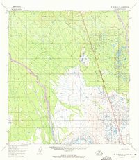
1952 · Mount McKinley A-5
USGS Topo · 1:63,360
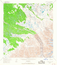
1953 · Mount McKinley A-4
USGS Topo · 1:63,360
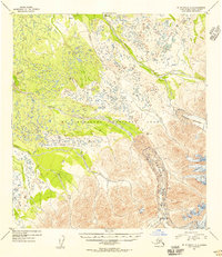
1954 · Mount McKinley A-4
USGS Topo · 1:63,360
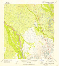
1954 · Mount McKinley A-5
USGS Topo · 1:63,360
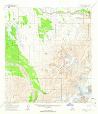
1958 · Talkeetna D-5
USGS Topo · 1:63,360
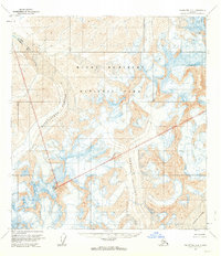
1958 · Talkeetna D-4
USGS Topo · 1:63,360
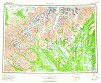
1958 · Talkeetna
USGS Topo · 1:250,000