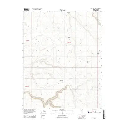
2014 Map of Tall Tree Mesa
USGS Topo · Published 2014About this map
Tall Tree Mesa dominates this landscape in the Chinle Agency region, providing a high vantage point over a complex network of dry washes and deep canyons. The settlement pattern is sparse, centered around local hubs like Bilasha and Owl Nest. Water, though seasonal, has deeply etched the terrain, creating significant landmarks such as Jimson Weed Canyon and Tezinie Canyon. These drainage systems converge toward Sheep Dip Cr, which carves through the southern portion of the quadrangle alongside Sheep Dip Canyon. Transportation in this modern era is defined by Bureau of Indian Affairs routes like Bia-8084, which provides access through the high desert plateaus of Apache County. The map captures a high-elevation environment where the names often reflect botanical or utilitarian heritage, indicative of the enduring relationship between the community and these canyons.
Find a feature on this map
14 named features on this map. Tap any name to fly to it.
Don’t see what you’re looking for? This feature index may not catch every label — zoom into the map to look around manually.
Map Details
Editions of this 2014 Tall Tree Mesa Map
This is the sole edition of this map. No revisions or reprints were ever made.
Other maps of this area
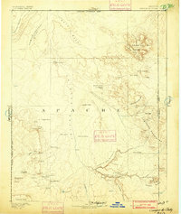
1892 · Canyon De Chelly
USGS Topo · 1:250,000

1954 · Shiprock
USGS Topo · 1:250,000
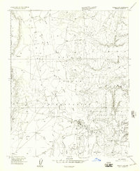
1955 · Chinle 4 NE
USGS Topo · 1:24,000
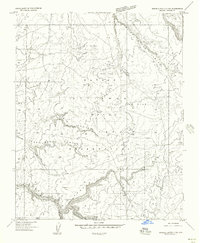
1955 · Sonsala Butte 2 SW
USGS Topo · 1:24,000
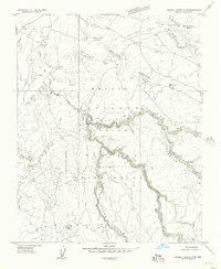
1955 · Sonsala Butte 2 NW
USGS Topo · 1:24,000
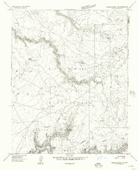
1955 · Sonsala Butte 2 SE
USGS Topo · 1:24,000
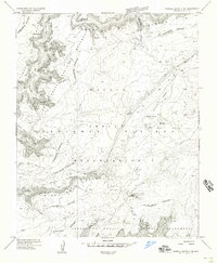
1955 · Sonsala Butte 3 NE
USGS Topo · 1:24,000
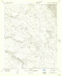
1955 · Sonsala Butte 2 NE
USGS Topo · 1:24,000
1955 · Sonsala Butte 3 NW
USGS Topo · 1:24,000
1955 · Canyon Del Muerto
USGS Topo · 1:62,500