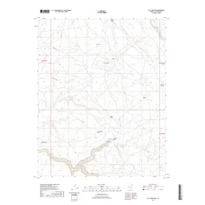
2018 Map of Tall Tree Mesa
USGS Topo · Published 2018About this map
Tall Tree Mesa dominates the eastern half of this high-altitude landscape in Apache County, defined by a complex network of dry washes and deep canyons. The small settlements of Owl Nest and Bilasha are positioned along the primary transit route, Indian Rte 8084, which skirts the northern edges of the plateau.
Find a feature on this map
17 named features on this map. Tap any name to fly to it.
Don’t see what you’re looking for? This feature index may not catch every label — zoom into the map to look around manually.
Map Details
Editions of this 2018 Tall Tree Mesa Map
This is the sole edition of this map. No revisions or reprints were ever made.
Other maps of this area
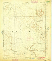
1892 · Canyon De Chelly
USGS Topo · 1:250,000

1954 · Shiprock
USGS Topo · 1:250,000
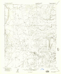
1955 · Chinle 4 NE
USGS Topo · 1:24,000
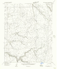
1955 · Sonsala Butte 2 SW
USGS Topo · 1:24,000
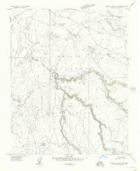
1955 · Sonsala Butte 2 NW
USGS Topo · 1:24,000
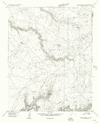
1955 · Sonsala Butte 2 SE
USGS Topo · 1:24,000
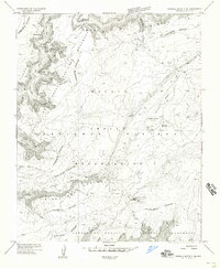
1955 · Sonsala Butte 3 NE
USGS Topo · 1:24,000
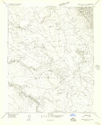
1955 · Sonsala Butte 2 NE
USGS Topo · 1:24,000
1955 · Sonsala Butte 3 NW
USGS Topo · 1:24,000
1955 · Canyon Del Muerto
USGS Topo · 1:62,500