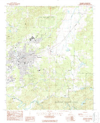
2024 Map of Talladega
USGS Topo · Published 2024About this map
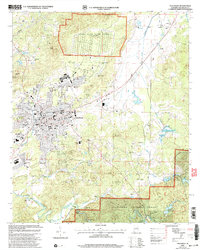
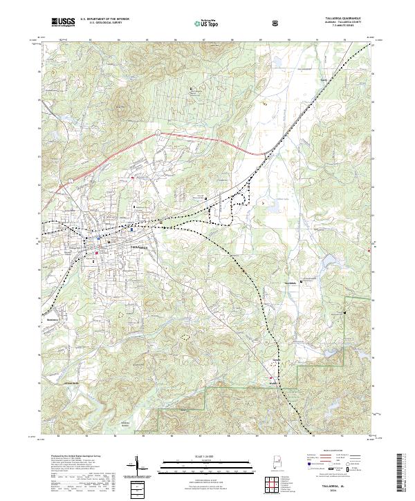
Talladega serves as the focal point of this Alabama landscape, where the historic Talladega County Courthouse and the campus of Talladega College anchor the city’s urban grid. The map details the transition from the city center to outlying communities such as Bemiston, Stockdale, and Curry. Family and local history are preserved in numerous sacred sites, including Old Providence Baptist Church Cem and Oak Hill Cem, which are scattered among the ridges of Bald Mtn and Gents Mtn.
Find a feature on this map
200 named features on this map. Tap any name to fly to it.
Don’t see what you’re looking for? This feature index may not catch every label — zoom into the map to look around manually.
Map Details
Editions of this 2024 Talladega Map
This is the sole edition of this map. No revisions or reprints were ever made.
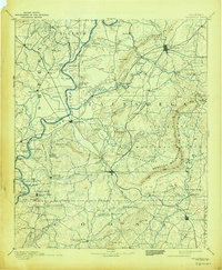
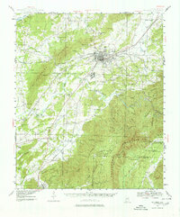
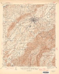
Historical Maps of Curry Through Time
7 maps found