1943 Map of Talladega
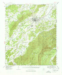
USGS Topo · Published 1980About this map
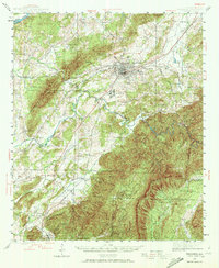
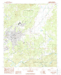
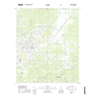
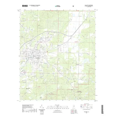
Talladega serves as the busy hub of this 1940s landscape, positioned at the intersection of the Southern Railway, Louisville and Nashville Railroad, and the Atlanta Birmingham and Coast Railroad. The industrial and social character of the era is evident in features like the mill town of Bemiston and the Reynolds Mill on Talladega Creek. To the west, the distinctive ridges of the Sleeping Giants rise above the Coosa River valley, while to the southeast, the terrain climbs toward Talladega Mountain and the Horn Mtn Lookout Tower.
Find a feature on this map
94 named features on this map. Tap any name to fly to it.
Don’t see what you’re looking for? This feature index may not catch every label — zoom into the map to look around manually.
Map Details
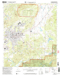
Editions of this 1943 Talladega Map
2 editions found
Historical Maps of Talladega Through Time
11 maps found

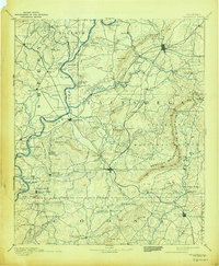
1890 Talladega
Talladega County, AL
1892 Talladega
Talladega County, AL
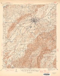
1943 Talladega
Talladega County, AL
1946 Talladega
Talladega County, AL
1987 Talladega
Talladega County, AL
2001 Talladega
Talladega County, AL
2011 Talladega
Talladega County, AL
2014 Talladega
Talladega County, AL
2018 Talladega
Talladega County, AL
2021 Talladega
Talladega County, AL
2024 Talladega
Talladega County, AL