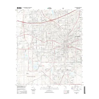
2015 Map of Tallahassee
USGS Topo · Published 2015About this map
Tallahassee stands as a focal point of education and government in the mid-2010s, defined by the sprawling campuses of Florida State University and Florida Agricultural and Mechanical University. The capital city's layout is grounded by its older quarters, including the Old City Cemetery and Roselawn Cemetery, while modern infrastructure like the Tallahassee Regional Airport anchors the southwest corner. The landscape transitions quickly from the urban center to the dense woodlands of the Apalachicola National Forest.
Find a feature on this map
153 named features on this map. Tap any name to fly to it.
Don’t see what you’re looking for? This feature index may not catch every label — zoom into the map to look around manually.
Map Details
Editions of this 2015 Tallahassee Map
This is the sole edition of this map. No revisions or reprints were ever made.
Other maps of this area

1940 · Tallahassee
USGS Topo · 1:62,500

1942 · Tallahassee
USGS Topo · 1:62,500

1943 · Tallahassee
USGS Topo · 1:62,500

1954 · Lafayette
USGS Topo · 1:24,000

1954 · Woodville
USGS Topo · 1:24,000

1954 · Tallahassee
USGS Topo · 1:250,000

1959 · Tallahassee
USGS Topo · 1:250,000

1960 · Tallahassee
USGS Topo · 1:250,000
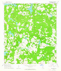
1963 · Bradfordville
USGS Topo · 1:24,000

1963 · Lake Jackson
USGS Topo · 1:24,000