
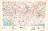
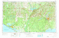
1954 Map of Tallahassee
USGS Topo · Published 1967This historical map portrays the area of Tallahassee in 1954, primarily covering Leon County as well as portions of Georgia and Alabama. Featuring a scale of 1:250000, this map provides a highly detailed snapshot of the terrain, roads, buildings, counties, and historical landmarks in the Tallahassee region at the time. Published in 1967, it is one of 4 known editions of this map due to revisions or reprints.
Find a feature on this map
53 named features on this map. Tap any name to fly to it.
Don’t see what you’re looking for? This feature index may not catch every label — zoom into the map to look around manually.
Map Details
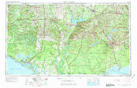
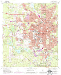
Editions of this 1954 Tallahassee Map
4 editions found
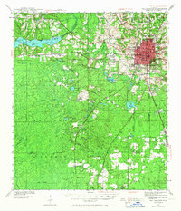
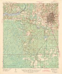
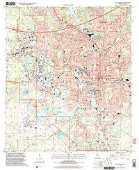
Historical Maps of Knox Hill Through Time
10 maps found
1940 Tallahassee
Leon County, FL

1942 Tallahassee
Leon County, FL
1943 Tallahassee
Leon County, FL
1954 Tallahassee
Leon County, FL

1959 Tallahassee
Leon County, FL

1960 Tallahassee
Leon County, FL
1970 Tallahassee
Leon County, FL

1979 Tallahassee
Leon County, FL

1988 Tallahassee
Leon County, FL
1999 Tallahassee
Leon County, FL