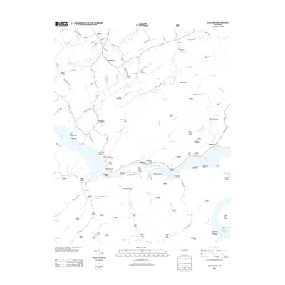
2013 Map of Tallassee
USGS Topo · Published 2013About this map
Tellico Lake and Chilhowee Lake dominate this portion of the Little Tennessee River valley, where the landscape is defined by the tension between modern reservoirs and the deep history of the river's original path. The settlement of Tallassee sits at a critical bend near Chilhowee Shoals, while the northern hills are dotted with small communities like Wellsville and Lanier. Transportation patterns are preserved through features like Babcock Trestle and the Scona Lodge Ferry crossing. The terrain is a complex network of hollows and ridges, from Vaden Hollow to Shelley Ridge, revealing how early homesteads and roads like Old Smoky Mountain Rd followed the natural contours of the gaps and bluffs long before the major impoundments reshaped the valley floor.
Find a feature on this map
149 named features on this map. Tap any name to fly to it.
Don’t see what you’re looking for? This feature index may not catch every label — zoom into the map to look around manually.
Map Details
Editions of this 2013 Tallassee Map
This is the sole edition of this map. No revisions or reprints were ever made.
Other maps of this area

1886 · Knoxville
USGS Topo · 1:125,000

1892 · Knoxville
USGS Topo · 1:125,000

1893 · Murphy
USGS Topo · 1:125,000

1894 · Knoxville
USGS Topo · 1:125,000

1895 · Loudon
USGS Topo · 1:125,000

1895 · Knoxville
USGS Topo · 1:125,000

1901 · Knoxville
USGS Topo · 1:125,000

1914 · Murphy
USGS Topo · 1:125,000

1933 · Haw Knob
USGS Topo · 1:48,000

1933 · Whiteoak Flats
USGS Topo · 1:24,000